How can I remove things in the LayerTree?
In the LayerTree header you will find some icons, one of these is a delete icon represented by the trash bin as highlighted below.

Clicking on it enables the delete mode after which the user can delete folders and layers from the LayerTree by clicking on the :cross_mark: icon. The items in the layer will be highlighted in red on hover.
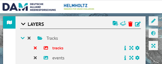
To disable the delete mode click on the trash bin again.
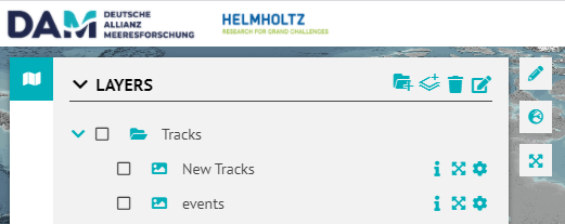
How can I edit names and titles of Layers and Folders in the LayerTree?
In the LayerTree header icons, you will find the edit icon as shown below, clicking on it activates the edit mode.
The items in the LayerTree will be highlighted on hover. The user can edit titles by clicking on existing titles.
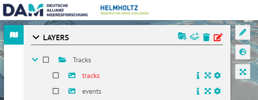
Fill out the input field with the new title. The new title is saved by either pressing the enter key on your keyboard or by clicking outside the input field.
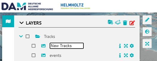
Once done, disable the edit mode by clicking on the edit icon again.
How can I use the DrawTools as an Expedition Planner?
The short video below shows the idea regarding how the DrawTools can be used as an expedition planner.
The user can add drawings to a folder, colour them, annotate them and export them when they are done. These can then be used/imported in any Desktop or Web GIS environment that supports GeoJSON format.
 DrawTools_ExpeditionPlanner.mp4
Overview
Content Tools