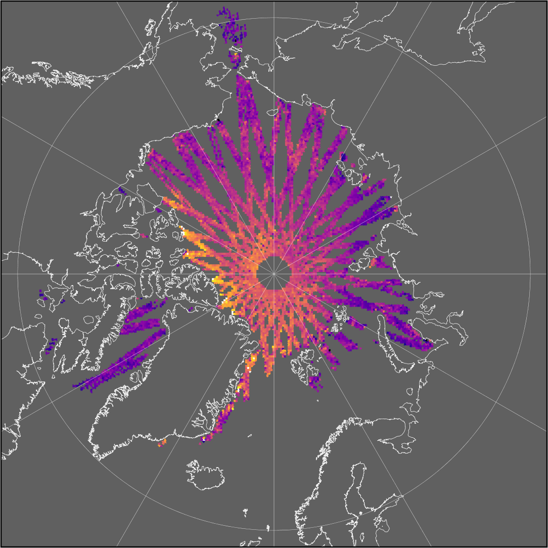
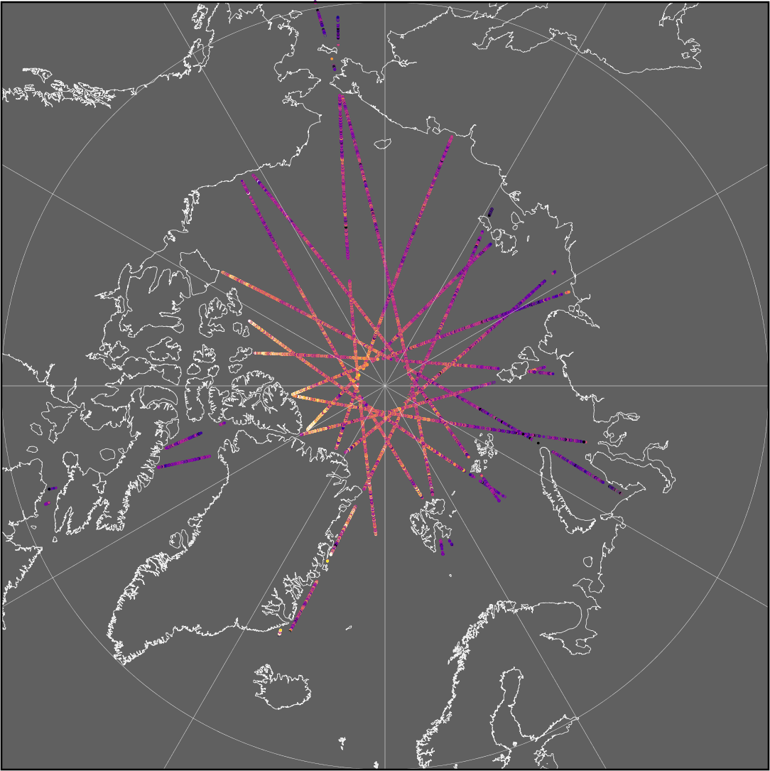
Daily Trajectory Summary
| Data Level | Level-2 Post-Processed (L2P) |
|---|---|
| Data Period | Daily (between 00:00:00 and 23:59:59.999 UTC) |
| Availability | CryoSat: version 2.0+ |
| Data Format | netCDF v4 (Climate and forecast conventions) |
| Filenaming | l2p-awi-seaice-{mission_id}-{timeliness}-{hemisphere}-{year}{month}{day}-{version}.nc |
| Summary | Collection of daily along-track geophysical parameters and their uncertainties at full resolution of the altimeter. Product only includes data points with valid freeboard measurements. |
| Parameters | All fields are per single altimeter data point.
|
Weekly Gridded
| Data Level | Level-3 Colocated (L3C) |
|---|---|
| Data Period | Weekly (between Monday 00:00:00 and Sunday 23:59:59.999 UTC) |
| Availability | CryoSat: version 2.0+ |
| Data Format | netCDF v4 (Climate and forecast conventions) |
| Summary | Weekly gridded geophysical parameters, their uncertainties, retrieval area statistics and flags |
| Grid | EASE-2 North (Lambert Azimuthal Equal Area) Projection: +proj=laea +lon_0=0 +datum=WGS84 +ellps=WGS84 +lat_0=90.0 Resolution: 25 km (Arctic) |
| Parameters | All fields are per single altimeter data point.
|