Attention:
The system is run by the Weather Station (DWD). Scientific co-use is possible according to prior agreement with AWI Logistics / Principal Investigator.
Summary
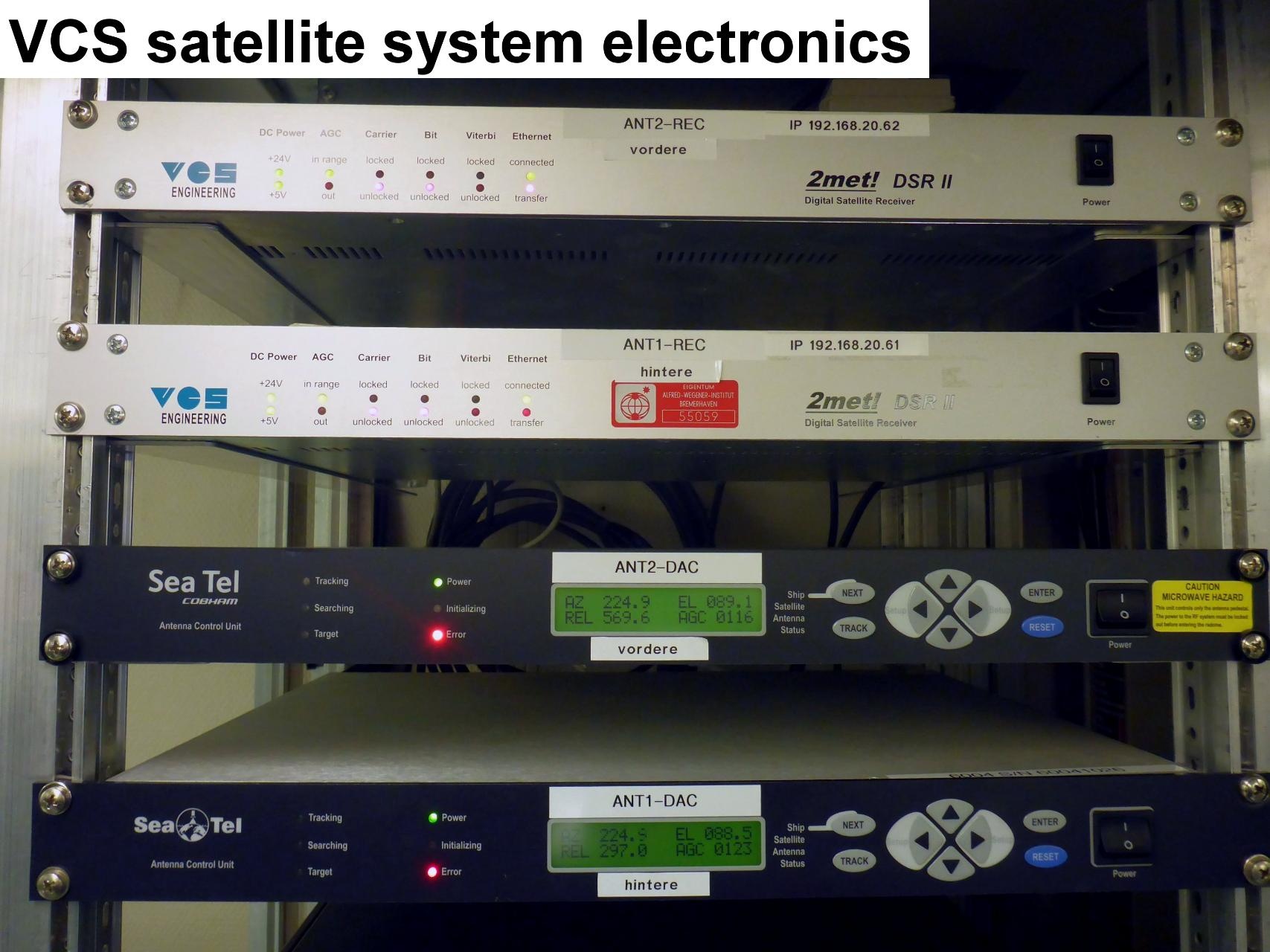
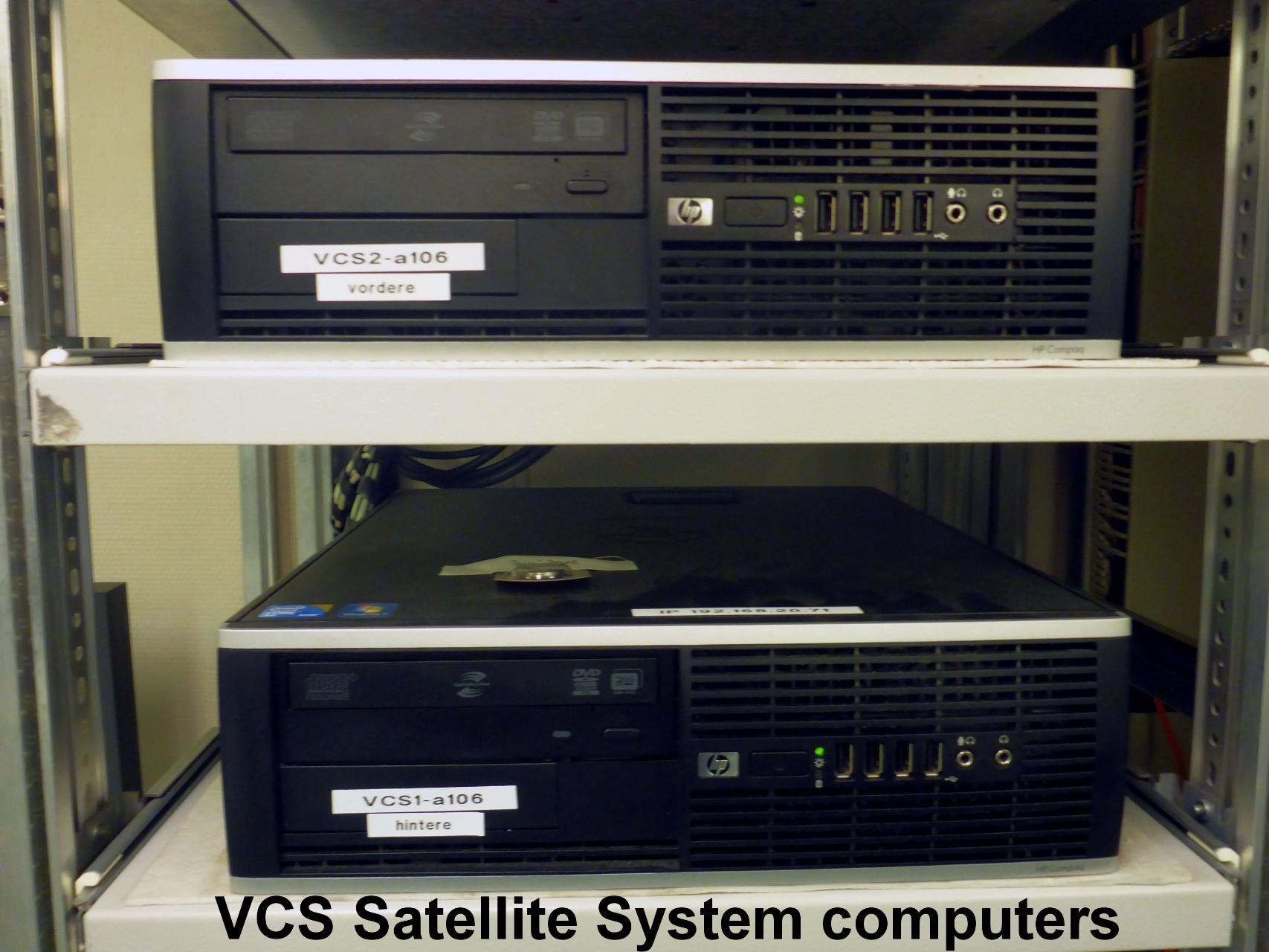
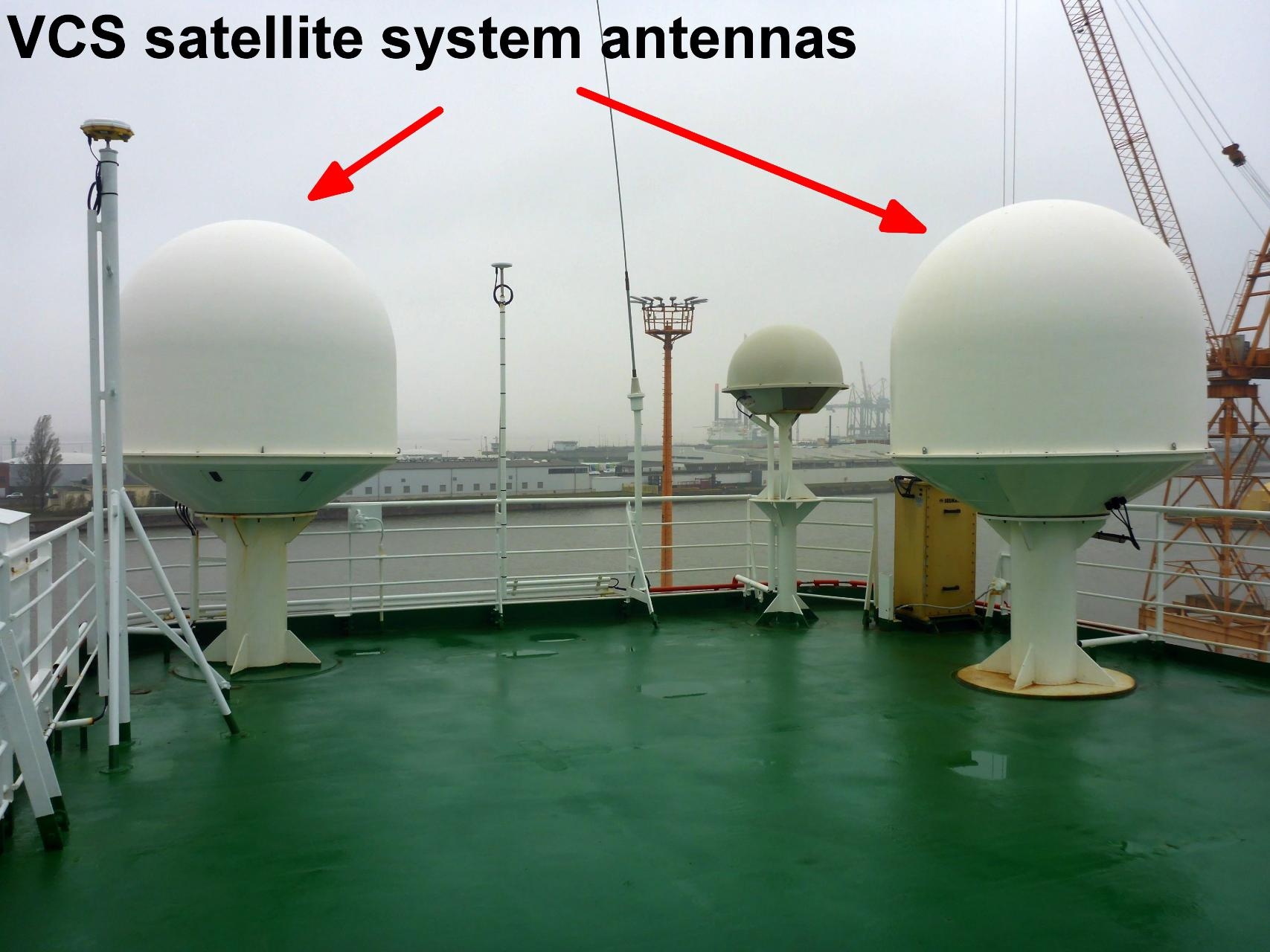
The VCS satellite system is used to receive images from NOAA, FENGYUN and METOP satellites. The system is redundant with a backup VCS installed. The satellite images are used for wheater forecast especially for nautical purpose, helicopter flight planning and scientific work planning.
| Manufacturer | SCISYS Deutschland GmbH |
|---|---|
| Model | 2met DSRII satellite receiver |
| Serial No. | n/a |
| Type | satellite tracking system |
| REGISTRY-Link | ↪ REGISTRY (1404) |
Contacts
| Name | Institution | Role |
|---|---|---|
| Bernd Loose | Alfred Wegener Institute for Polar and Marine Research | Device Contact |
| Holger Schmithüsen | Alfred Wegener Institute, Helmholtz Centre for Polar and Marine Research | Device Contact |
| Loretta Preis | Alfred Wegener Institute, Helmholtz Centre for Polar and Marine Research | Device Contact |
| Deutscher Wetterdienst Bordwetterwarte Polarstern | DWD | Data Provider |
Components
Subdevices
| Name | Model | Serial Number | REGISTRY-Link |
|---|---|---|---|
| DSR II receiver (2met) | n/a | ↪ REGISTRY (1517) |