Summary
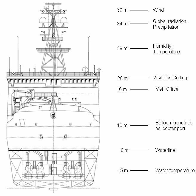
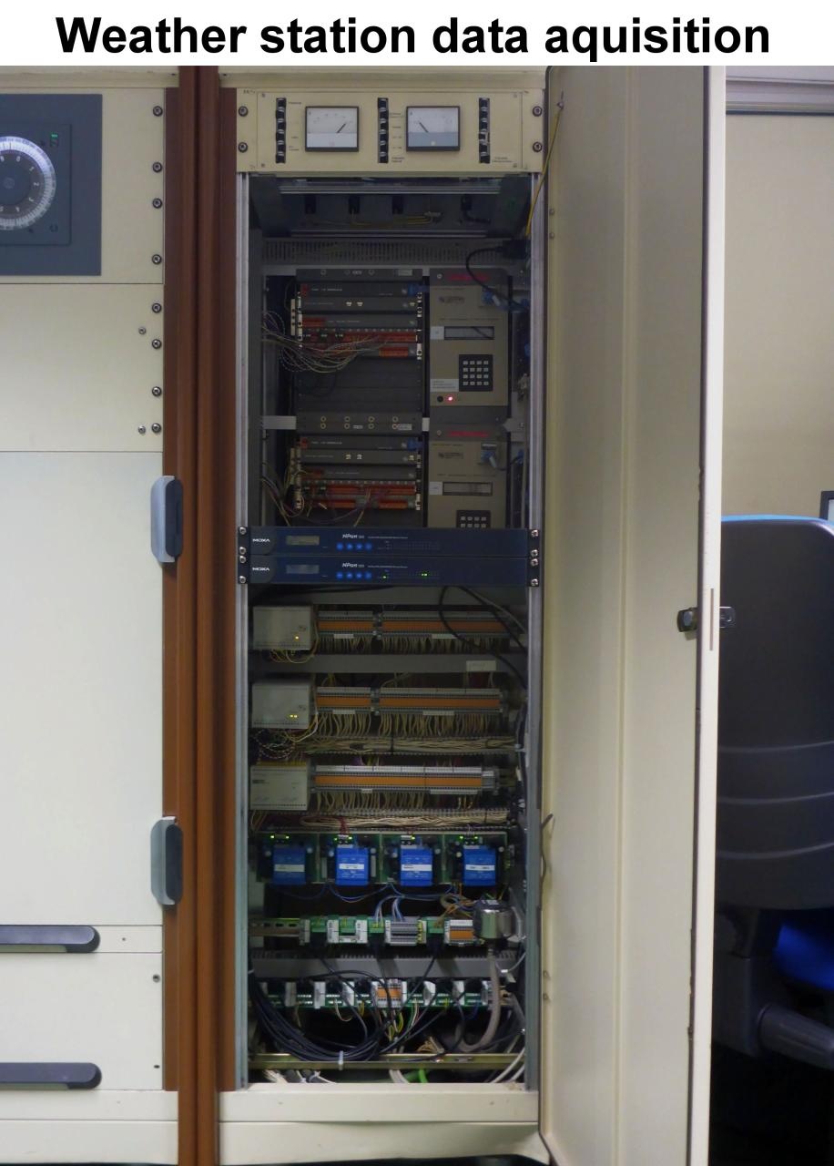
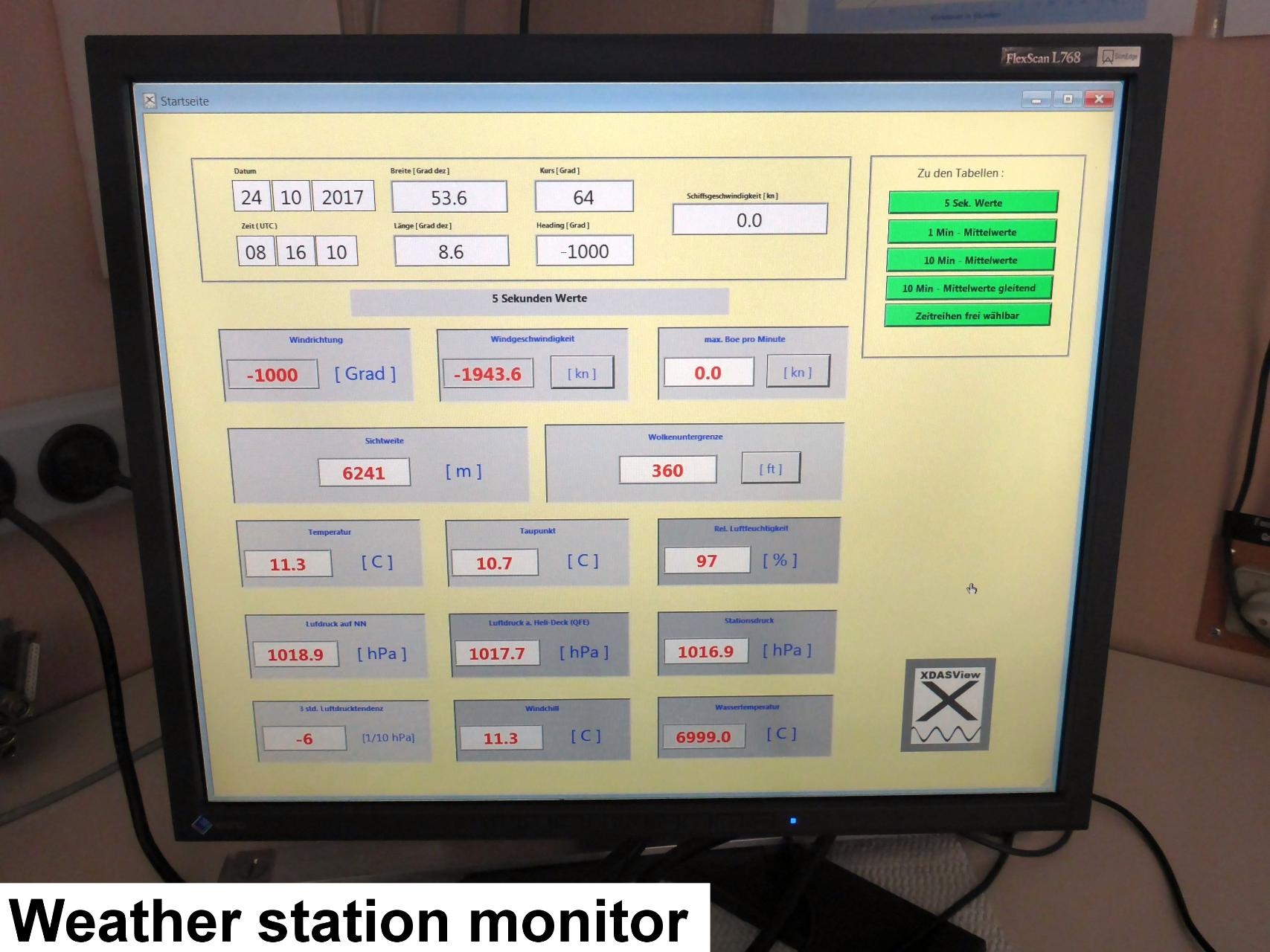
The weather station at Polarstern consists of several devices which measure standard parameters such as temperature, wind, humidity, barometric pressure, radiation and precipitation. Satellite images are received with a dedicated antenna which, together with the data, are used for forecast purposes. The station is operated by a weather technician-observer from the German Weather Service (DWD) who is responsible for the routine 3-hourly synoptic observations and the daily upper air soundings.
| Manufacturer |
AWI |
| Model |
AWI |
| Serial No. |
n/a |
| Type |
small scale facility |
| REGISTRY-Link |
↪ REGISTRY (22) |
|
Name
|
Institution
|
Role
|
| Bernd Loose |
Alfred Wegener Institute for Polar and Marine Research |
Engineer In Charge |
| Holger Schmithüsen |
Alfred Wegener Institute, Helmholtz Centre for Polar and Marine Research |
Principal Investigator, Editor |
| Alfred Wegener Institute for Polar and Marine Research |
Alfred Wegener Institute, Helmholtz Centre for Polar and Marine Research |
Owner |
| Loretta Preis |
Alfred Wegener Institute, Helmholtz Centre for Polar and Marine Research |
Engineer In Charge, Editor |
Components
Subdevices

Position
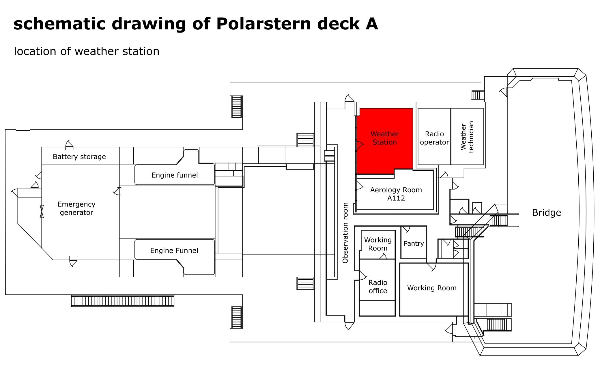
| Info | no xyz-position given, the weather station is located on deck A |
| X | 0.0 (no unit given)
|
| Y | 0.0 (no unit given)
|
| Z | 0.0 (no unit given)
|
Data logging, storage and archiving
Logged parameters
|
Parameter
|
O2ARegistry Output Type
|
Unit
|
| air pressure |
pressure |
hPa |
| air temperature |
air temperature |
°C |
| ceiling |
cloud ceiling |
ft |
| ceiling_m |
cloud ceiling |
m |
| direct radiation |
direct radiation |
W/m2 |
| global radiation |
global radiation |
W/m2 |
| max rel. wind velocity last min |
wind speed |
m/s |
| precipitation |
precipitation |
mm/min |
| rel. humidity |
relative humidity |
% |
| rel. wind direction |
wind direction |
deg |
| rel. wind velocity |
wind speed |
m/s |
| sunshine indicator |
UV radiation |
unknown |
| true wind direction |
wind direction |
deg |
| true wind speed |
wind speed |
m/s |
| true wind velocity |
wind speed |
m/s |
| visibility |
visibility |
m |
Central geographical ship's position and time standard
Rawdata storage on board
Dship
Data archiving on land


