Attention:
The Navigation Echo Sounder is operated by ship's command only.
Summary
The Furuno FE 800 echo sounder displays the clearance below the ship in dual frequency operation when interfaced with two transducers. The FE-800 generates alerts when the water depth below transducer is shallower than a preset depth. When the seabed is lost due to the lowered power supply or out of range scale, an alert is generated.
| Manufacturer | Furuno Electric Co. Ltd |
|---|---|
| Model | FE-800 |
| Serial No. | 1000-1410-8737 |
| Type | echo sounder |
| REGISTRY-Link | ↪ REGISTRY (13503) |

Transducer Frequency:
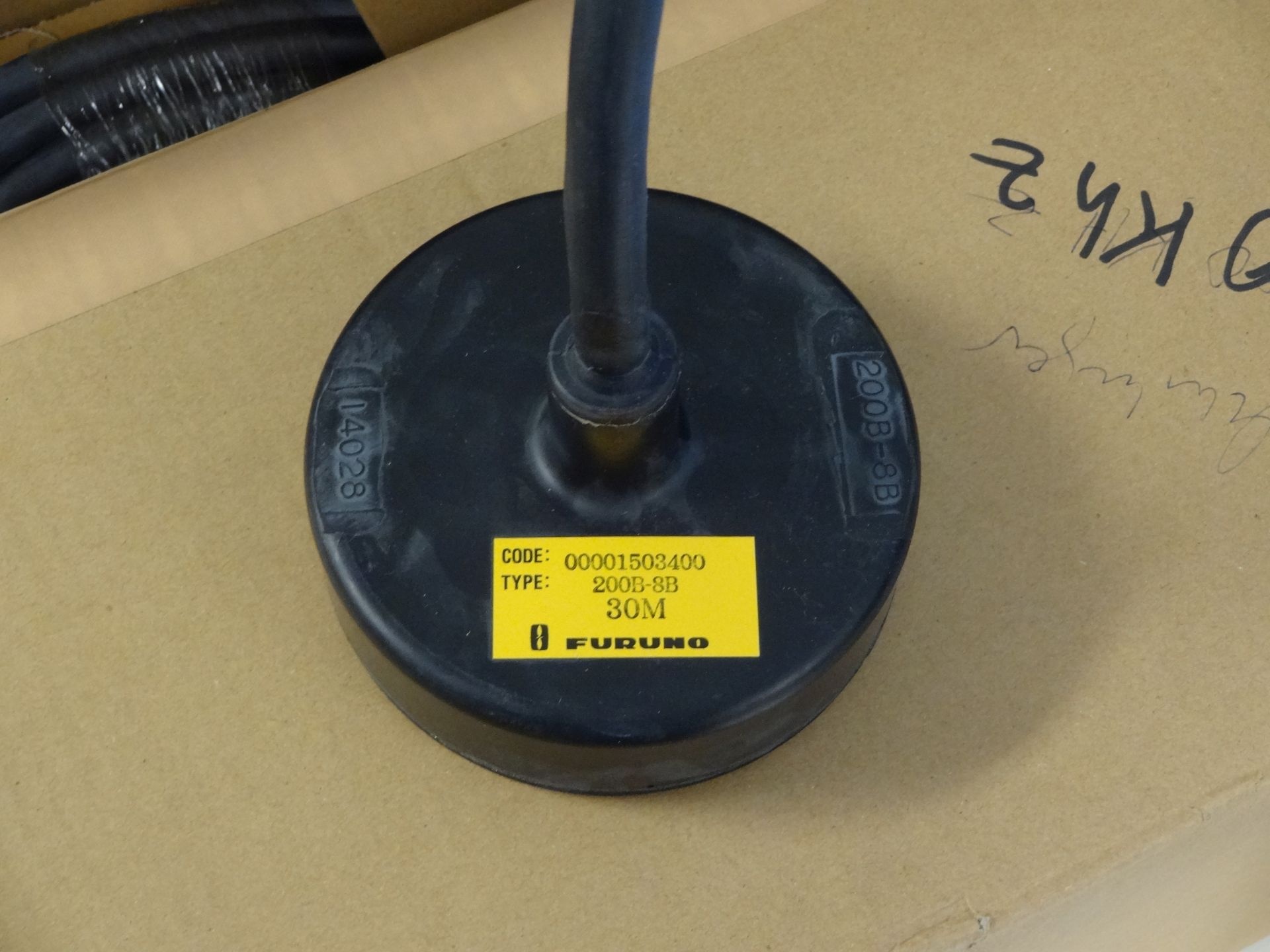
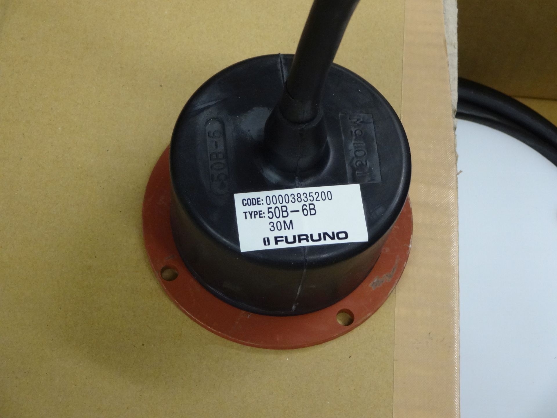
The FE-800 is equipped with a 50kHz and a 200kHz transducer.
Contacts
| Name | Institution | Role |
|---|---|---|
| Reederei Laeisz | F. Laeisz | Device Contact |
Components
The system consits of transducers located in box keel and the electronics and control panel, which are located on bridge.
Subdevices
| Name | Model | Serial Number | REGISTRY-Link |
|---|---|---|---|
| Furuno FE-800 200kHz transducer | Furuno 200kHz transducer | furuno_fe800_200khz_2023 | ↪ REGISTRY (13505) |
| Furuno FE-800 50kHz transducer | Furuno 50kHz transducer | furuno_fe800_50khz_2023 | ↪ REGISTRY (13504) |
Position
| Info | The system consits of transducers located in box keel and the electronics and control panel, which are located on bridge. Given here is the location of the 50kHz transducer |
| X | 77.948 m X-0 is at the center of der rudder (ref. design drawing of the vessel), positive X-axis is forward and along vessel centerline |
| Y | 0.501 m Y-0 at centerline, positive Y-axis is portside |
| Z | 0.014 m Z-0 is set to the lowest point of the keel, positive Z-axis is upwards |
Data logging, storage and archiving
Logged parameters
| Parameter | O2ARegistry Output Type | Unit |
|---|---|---|
| depth below transducer | depth | m |
Central geographical ship's position and time standard
Time synchronising via DShip. Geographical ship's position via DShip.
Rawdata storage on board
Data storage in DShip system.
Dship
Uncorrected measurement data.
Device name |
navigation sounder |
|---|---|
Parameters |
depth [m] |
Data archiving on land
After the cruise the DShip data set can be extracted from https://dship.awi.de/ .
.
.File format(s) |
*.txt |
|---|---|
Calibration certificates |
NO |
