Attention:
The Doppler Log (DO-Log) is part of nautical equipment. The operation belongs to the bridge only.
The new DO-Log system was installed in December 2017.
Summary
The Doppler log measures speed through water by using the Doppler effect of sound signal reflected from the seafloor or from suspended matter in the water column. Two transducer are installed in the ships keel and can be alternatively used. Hydroacoustic frequency amounts to 270 kHz.
| Manufacturer | Skipper Electronics A/S |
|---|---|
| Model | DL850 |
| Serial No. | Transducer 1 S/N: 17889, Transducer 2 S/N: 17895 |
| Type | speed log |
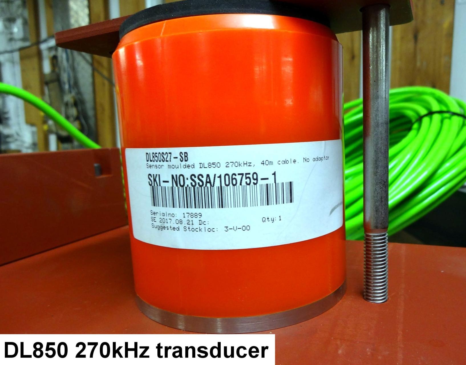
Transducer Frequency:
270 kHz
Contacts
| Name | Institution | Role |
|---|---|---|
| Reederei Laeisz | Reederei Laeisz | Engineer In Charge |
| polarstern dship | Alfred-Wegener-Institute | dship connector |
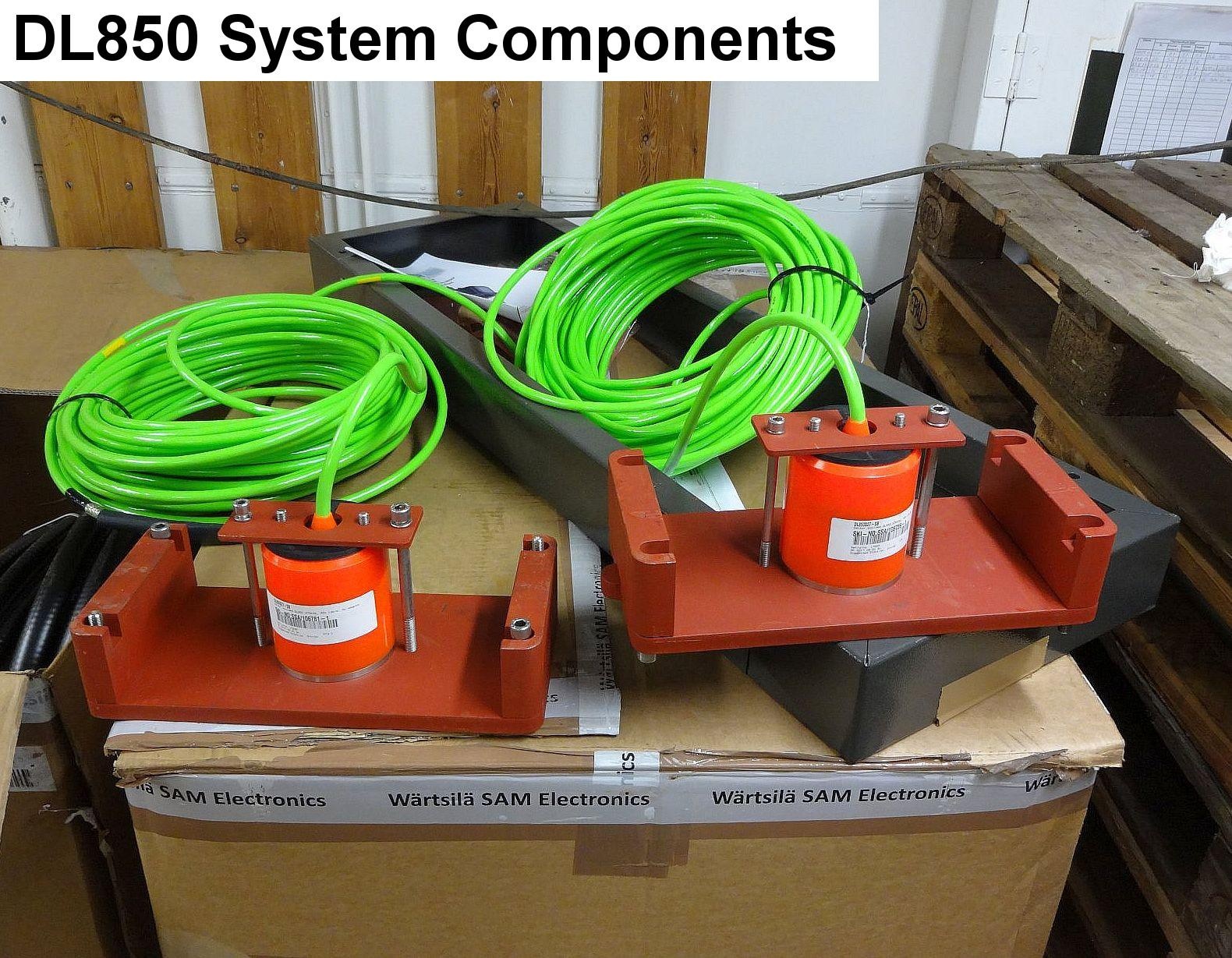
Components
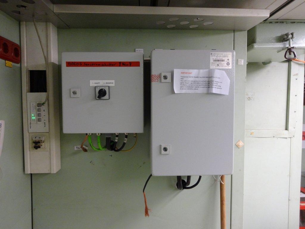
The system consists of two transducer elements installed in the ship's keel. The transducers can alternatively be used, e.g. one is backup. Electronic cabinet is mounted in Gravitymeter Room F-632. Hydroacoustic frequency amounts to 270 kHz. Transducer 1 S/N: 17889; Transducer 2 S/N: 17895.
Subdevices
| Name | Model | Type |
|---|---|---|
| DOLOG_1A transducer | DOLOG | not assigned |
| DOLOG_1B transducer | DOLOG | not assigned |
| DOLOG_2 transducer | DOLOG | not assigned |
Position
| Origin Description: | xyz-position calculated from Alignment Survey Report RV Polarstern (June 2016), transducer located in box keel, electronics located on F-deck room F632 |
| X: | 69.366 m (X-0 is at the center of der rudder (ref. design drawing of the vessel), positive X-axis is forward and along vessel centerline) |
| Y: | 0.415 m (Y-0 at centerline, positive Y-axis is portside) |
| Z: | 0.014 m (Z-0 is set to the lowest point of the keel, positive Z-axis is upwards) |
Data logging, storage and archiving
Logged parameters
| Parameter | Sensor Output Type | Unit |
|---|---|---|
| speed bottomtrack across | speed | knots |
| speed bottomtrack ahead | speed | knots |
| speed watertrack across | speed | knots |
| speed watertrack ahead | speed | knots |
Central geographical ship's position and time standard
Time synchronising is regulated by DShip.
Geographical ship's position is provided by DShip.
Geographical ship's position is provided by DShip.
Rawdata storage on board
Data storage in DShip system.
Dship
Uncorrected measurement data.
Device name |
DO-Log |
|---|---|
Parameters |
speed bottomtrack across [kn]; speed bottomtrack ahead [kn]; speed watertrack across [kn]; speed watertrack ahead [kn] |
Data archiving on land
After the cruise the DShip data set can be extracted from https://dship.awi.de/ .
.
File format(s) |
*.txt |
|---|---|
Calibration certificates |
NO |