...
| Sensorweb integration | ||||
|---|---|---|---|---|
| ||||
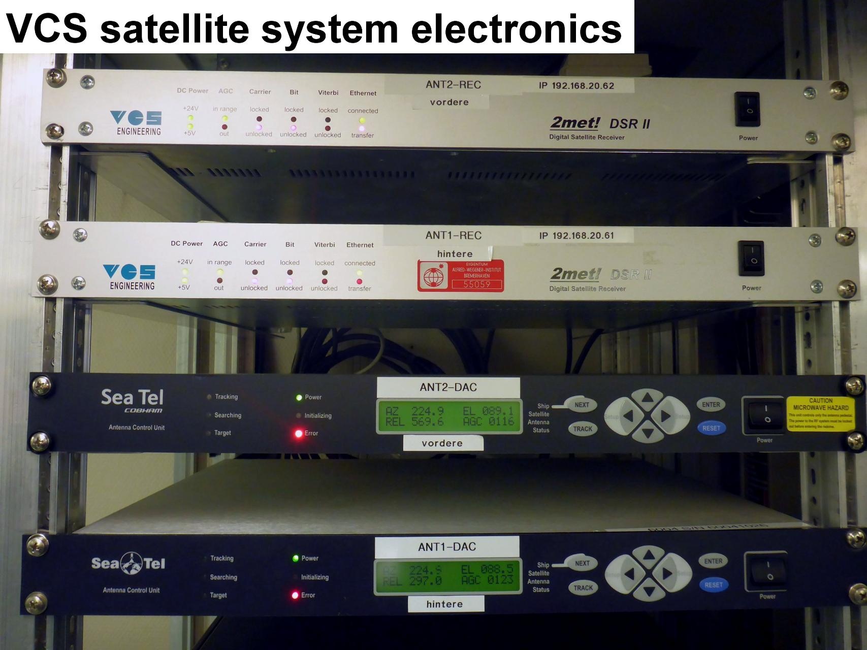
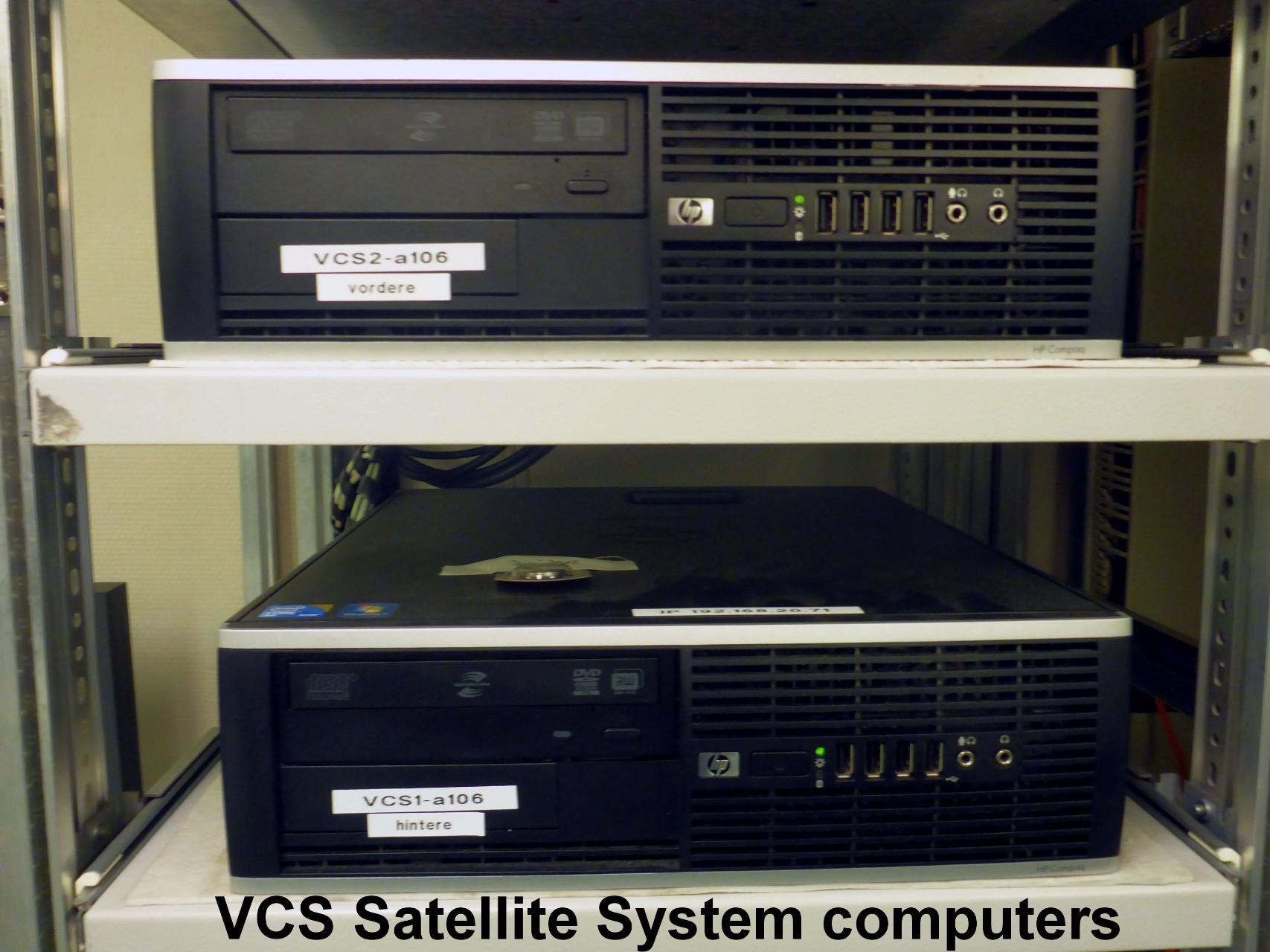
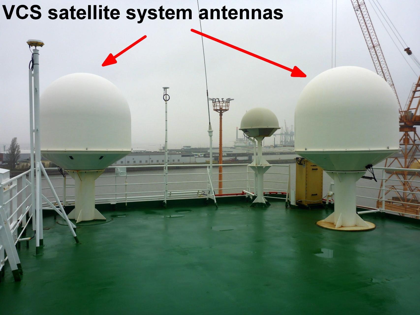
The VCS satellite system is used to receive images from NOAA, FENGYUN and METOP satellites. The system is redundant with a backup VCS installed. The satellite images are used for wheater forecast especially for nautical purpose, helicopter flight planning and scientific work planning. vessel:polarstern:vcs (1404) |
| Sensorweb integration | ||||||||||
|---|---|---|---|---|---|---|---|---|---|---|
| ||||||||||
|
| Sensorweb integration | ||||
|---|---|---|---|---|
| ||||
   |
...
| Sensorweb integration | ||||||||
|---|---|---|---|---|---|---|---|---|
| ||||||||
|
| Metadata (Metadata Plugin) | ||
|---|---|---|
| ||
...