| Excerpt | ||||||
|---|---|---|---|---|---|---|
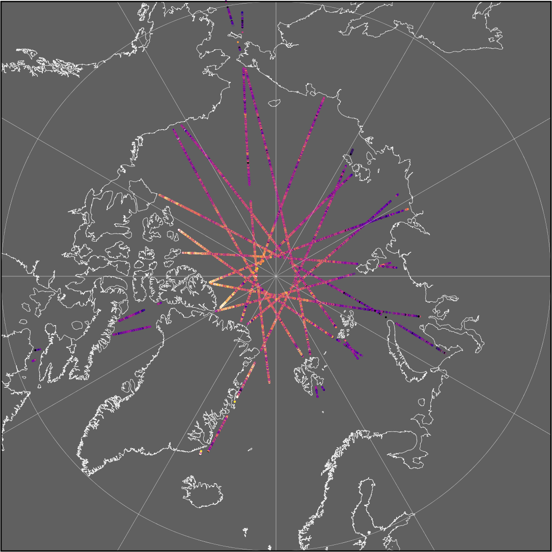
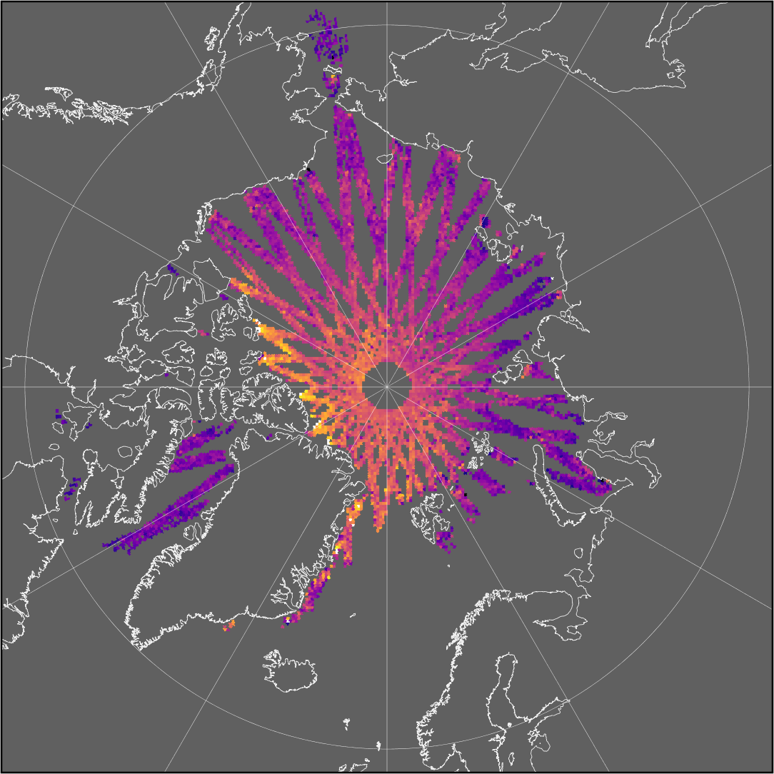
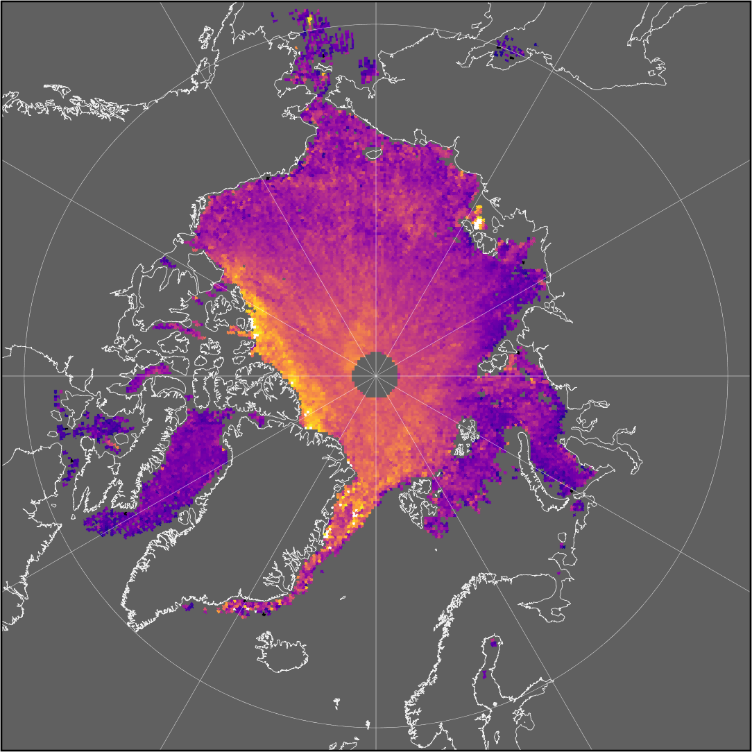
The sea-ice thickness processing chain generates higher level data products (such as maps) from measurements along the ground track of the satellite. Sea-ice thickness information is therefore available at different data levels that differ in the extent and resolution of the corresponding dataset.
|
Daily Trajectory Summary
| Anchor | ||||
|---|---|---|---|---|
|


