...
| Note | ||
|---|---|---|
| ||
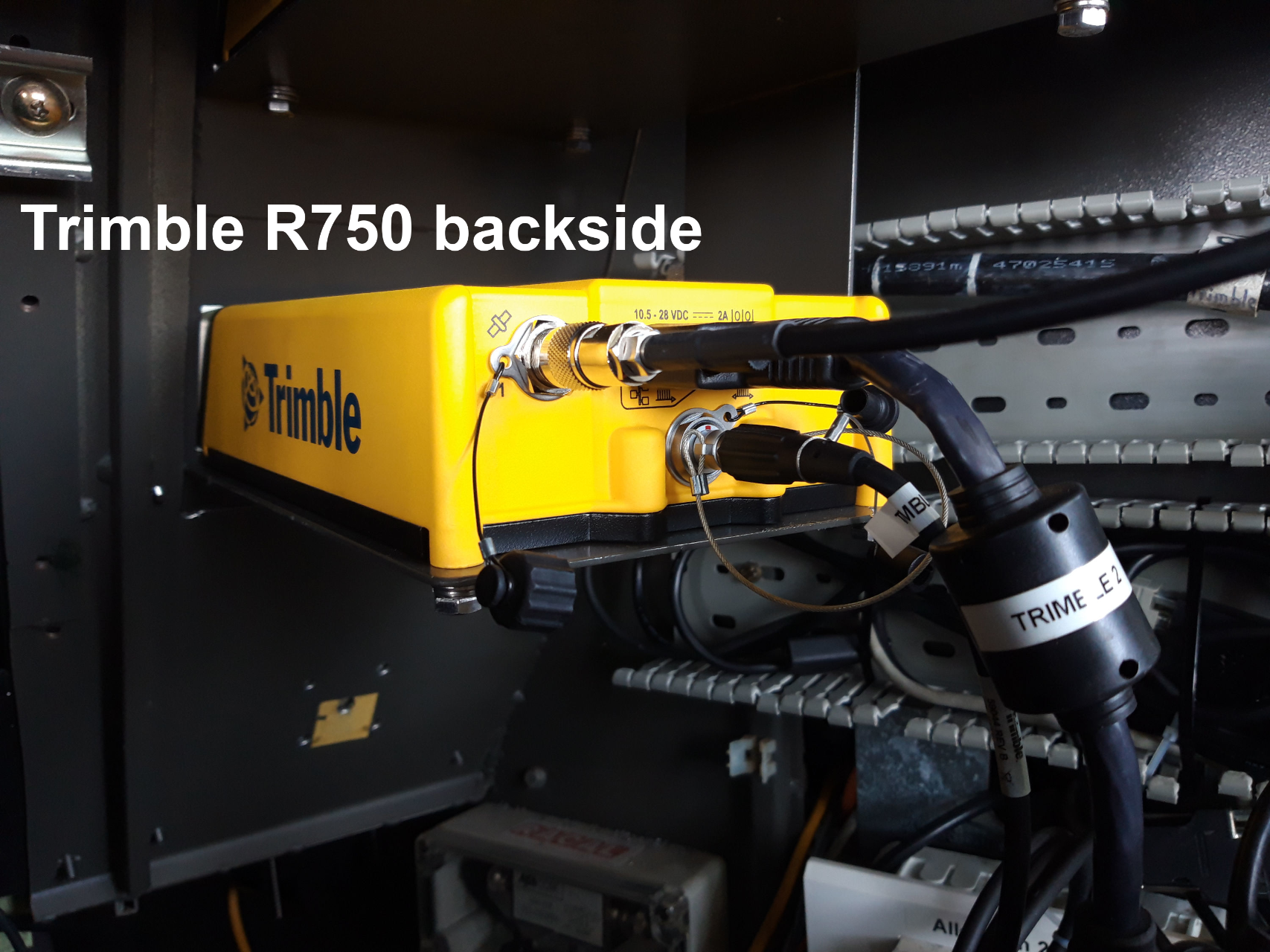
Trimble 1 and Trimble 2 GPS Receivers are operated by ship's command only. The sensor is essential device providing position data for a large number of scientific devices. Most sensors do not directly receive positions from GPS sensor but from motion sensor Hydrins. The system TRIMBLE 1 / HYDRINS 1 and TRIMBLE 2 / HYDRINS 2 are alternatively sending positions to the customers. DShip is logging positions from both GPS receivers in parallel. |
Summary
| Sensorweb integration | ||||
|---|---|---|---|---|
| ||||
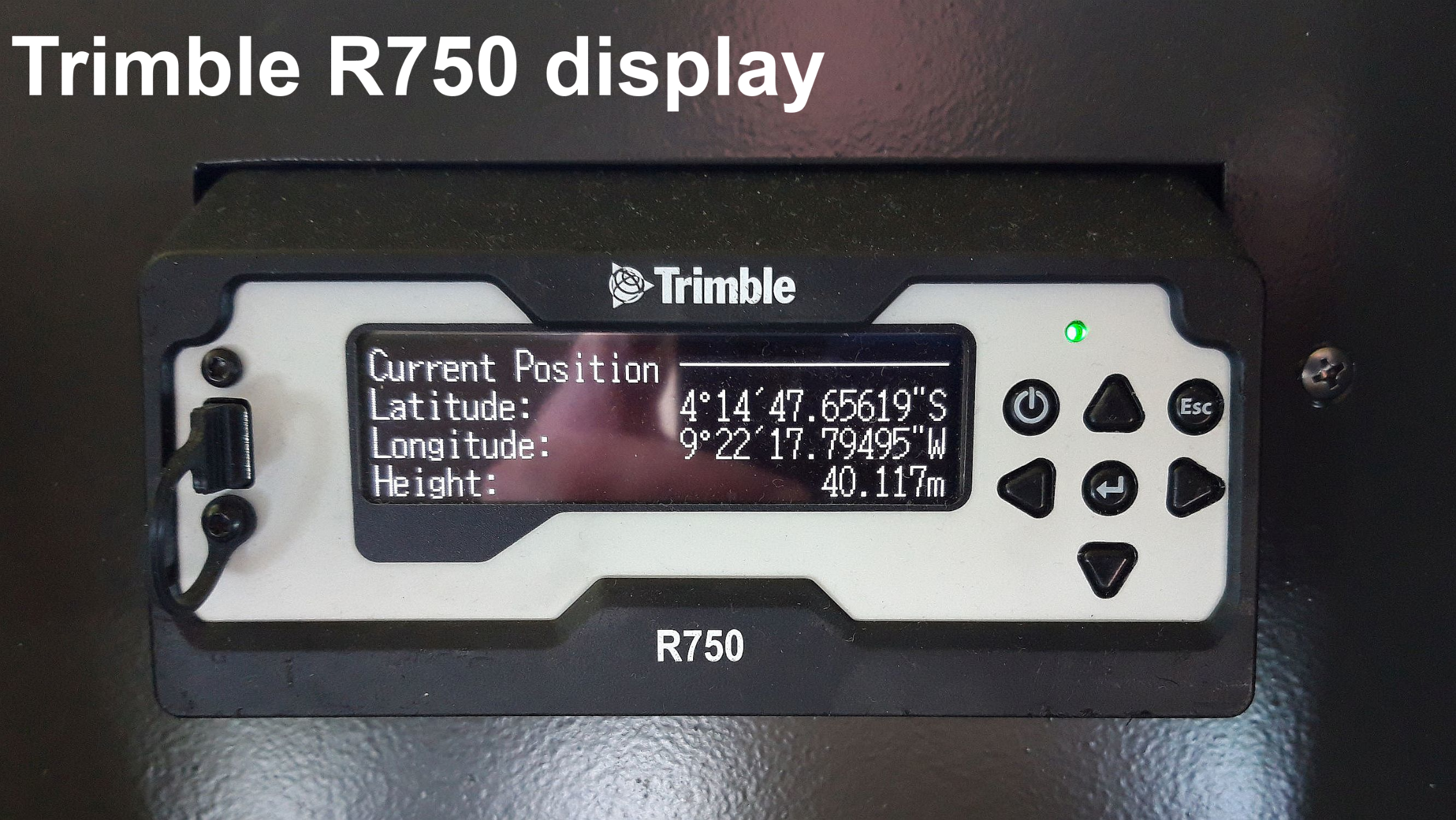
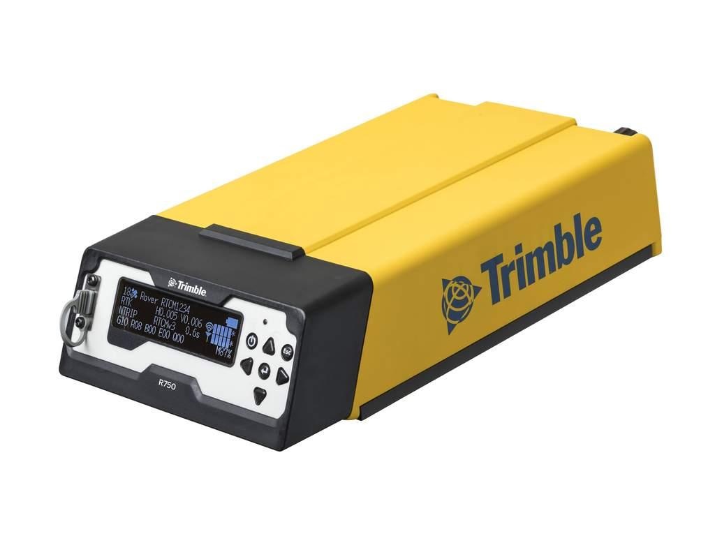
The Trimble R750 is a combined radio and GPS receiver. It uses all currently available satellite signals including L1, L2 and the GPS modernized L2C code. |
Trimble 1
| Sensorweb integration | ||||||||||
|---|---|---|---|---|---|---|---|---|---|---|
| ||||||||||
|
| Sensorweb integration | ||||
|---|---|---|---|---|
| ||||
  |
Trimble 2
| Sensorweb integration | ||||||||||
|---|---|---|---|---|---|---|---|---|---|---|
| ||||||||||
|
| Sensorweb integration | ||||
|---|---|---|---|---|
| ||||
 |
Contacts
| Sensorweb integration | ||||||
|---|---|---|---|---|---|---|
| ||||||
|
Components
| Metadata (Metadata Plugin) | ||||
|---|---|---|---|---|
| ???||||
Position
Trimble 1 antenna position
| Sensorweb integration | ||||||||
|---|---|---|---|---|---|---|---|---|
| ||||||||
|
Trimble 2 antenna position
| Sensorweb integration | ||||||||
|---|---|---|---|---|---|---|---|---|
| ||||||||
|
Data logging, storage and archiving
Logged parameters
| Sensorweb integration | ||||||||||||||||||||||||
|---|---|---|---|---|---|---|---|---|---|---|---|---|---|---|---|---|---|---|---|---|---|---|---|---|
| ||||||||||||||||||||||||
|
Central geographical ship's position and time standard
| Metadata (Metadata Plugin) | ||||
|---|---|---|---|---|
| ??? Time synchronising ???
| Metadata (Metadata Plugin) | ||
|---|---|---|
| ||
??? geographical ship's position ??? |
Rawdata storage on board
| Metadata (Metadata Plugin) | ||||
|---|---|---|---|---|
| Data storage in DShip system.
| Metadata list |
|---|
|| Data volume (MB per day) ca | ??? ||
|| Number of files per day ca | ??? || |
Dship
| Metadata (Metadata Plugin) | ||||
|---|---|---|---|---|
| Uncorrected measurement data||||
| Metadata list |
|---|
Data archiving on land
| space-metadata | ||||
|---|---|---|---|---|
| After the cruise the DShip data set can be extracted from https://dms.awi.de.
??? https://www.pangaea.de/ (for authorized users only) ??? ||||
| Metadata list |
|---|
|| File format(s) | ??? ||
|| Calibration certificates | ??? || |
Documentation
Events
Trimble 1
...
Documentation
| Sensorweb integration | ||||
|---|---|---|---|---|
| ||||