Attention:
Trimble 1 and Trimble 2 GPS Receivers are operated by ship's command only.
The sensor is essential device providing position data for a large number of scientific devices. Most sensors do not directly receive positions from GPS sensor but from motion sensor Hydrins.
The system TRIMBLE 1 / HYDRINS 1 and TRIMBLE 2 / HYDRINS 2 are alternatively sending positions to the customers. DShip is logging positions from both GPS receivers in parallel.
Summary
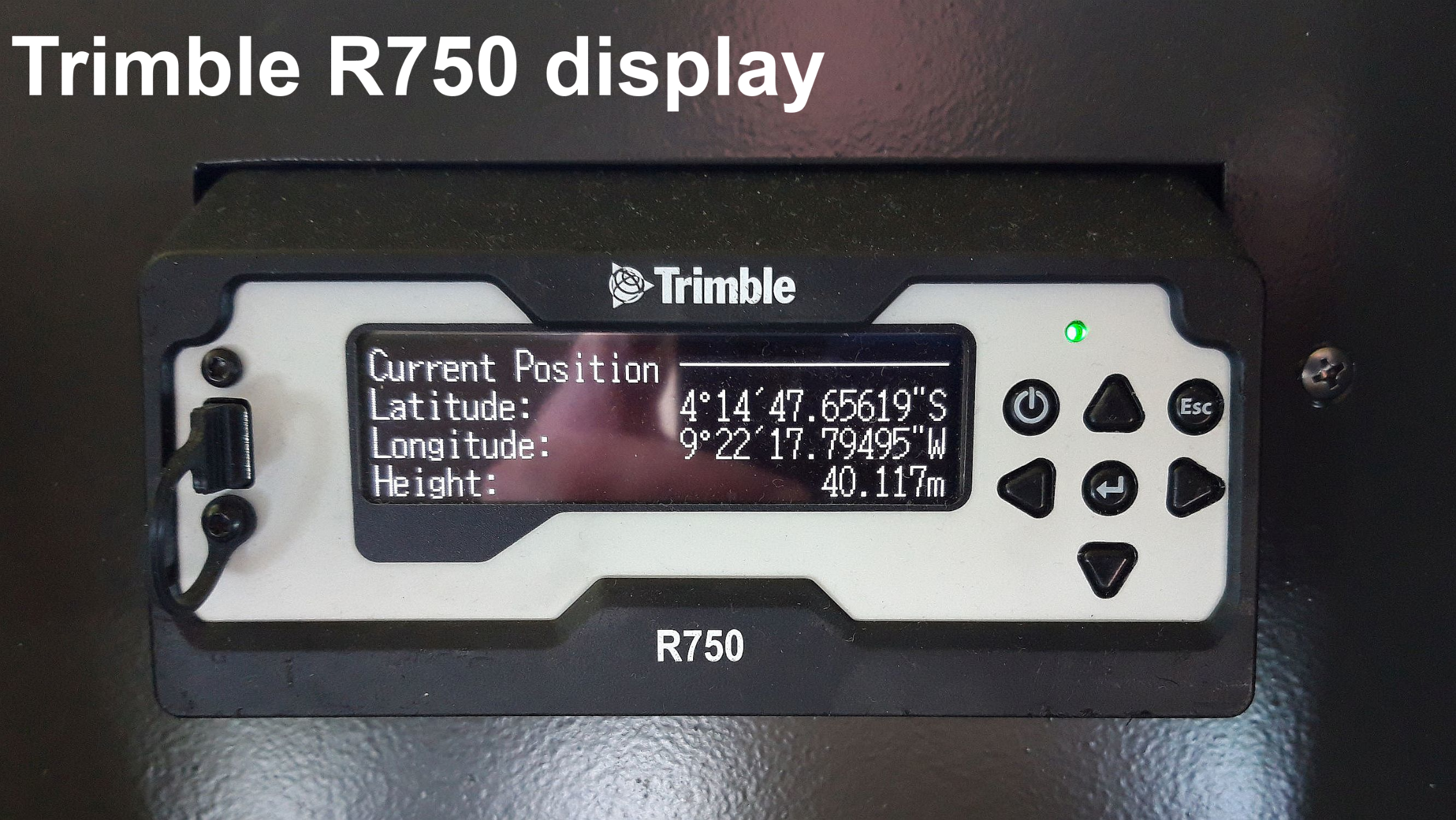
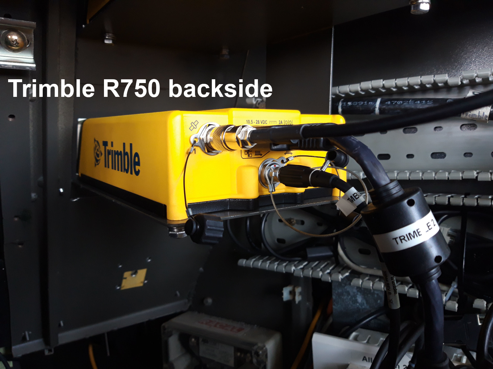
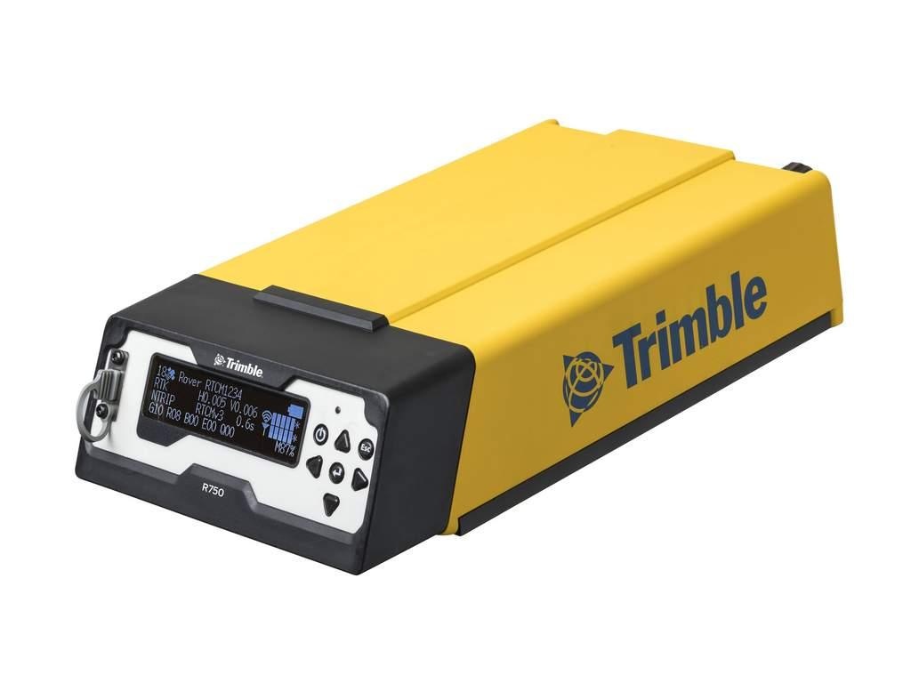
The Trimble R750 is a combined radio and GPS receiver. It uses all currently available satellite signals including L1, L2 and the GPS modernized L2C code.
Trimble 1
| Manufacturer | Trimble Navigation Limited |
|---|---|
| Model | Trimble R750 |
| Serial No. | 6236R47098 |
| Type | satellite positioning system |
| REGISTRY-Link | ↪ REGISTRY (11072) |
Trimble 2
| Manufacturer | Trimble Navigation Limited |
|---|---|
| Model | Trimble R750 |
| Serial No. | 6236R47107 |
| Type | satellite positioning system |
| REGISTRY-Link | ↪ REGISTRY (11073) |
Contacts
| Name | Institution | Role |
|---|---|---|
| Ralf Krocker | Alfred Wegener Institute, Helmholtz Centre for Polar and Marine Research | Device Contact |
Components
Position
Trimble 1 antenna position
| Info | xyz-position of antenna from Alignment Survey Report RV Polarstern (June 2016), located on upper observation deck |
| X | 78.753 m X-0 is at the center of der rudder (ref. design drawing of the vessel), positive X-axis is forward and along vessel centerline |
| Y | -8.635 m Y-0 at centerline, positive Y-axis is portside |
| Z | 33.37 m Z-0 is set to the lowest point of the keel, positive Z-axis is upwards |
Trimble 2 antenna position
| Info | xyz-position of antenna from Alignment Survey Report RV Polarstern (June 2016), located on upper observation deck |
| X | 72.503 m X-0 is at the center of der rudder (ref. design drawing of the vessel), positive X-axis is forward and along vessel centerline |
| Y | 9.234 m Y-0 at centerline, positive Y-axis is portside |
| Z | 33.383 m Z-0 is set to the lowest point of the keel, positive Z-axis is upwards |
Data logging, storage and archiving
Logged parameters
| Parameter | O2ARegistry Output Type | Unit |
|---|---|---|
| Course | attitude | deg |
| Date | date | |
| gps quality indicator | quality flag | |
| Latitude | latitude | deg |
| Longitude | longitude | deg |
| number of satellites | quality flag | |
| Time Stamp | time |