...
| Sensorweb integration |
|---|
| urn | vessel:heincke:trimble_5228k50585 |
|---|
| contenttype | Metadata |
|---|
|
| Manufacturer | Trimble |
|---|
| Model | Trimble Marine SPS461 |
|---|
| Serial No. | 5228K50585 |
|---|
| Type | satellite positioning system |
|---|
| SENSOR-Link | ↪ |
|---|
|
Contacts
| Sensorweb integration |
|---|
| urn | vessel:heincke:trimble_5228k50585 |
|---|
| contenttype | Contacts |
|---|
|
| Name | Institution | Role |
|---|
| Ralf Krocker | Alfred Wegener Institute, Helmholtz Centre for Polar and Marine Research | Engineer In Charge |
|
Components
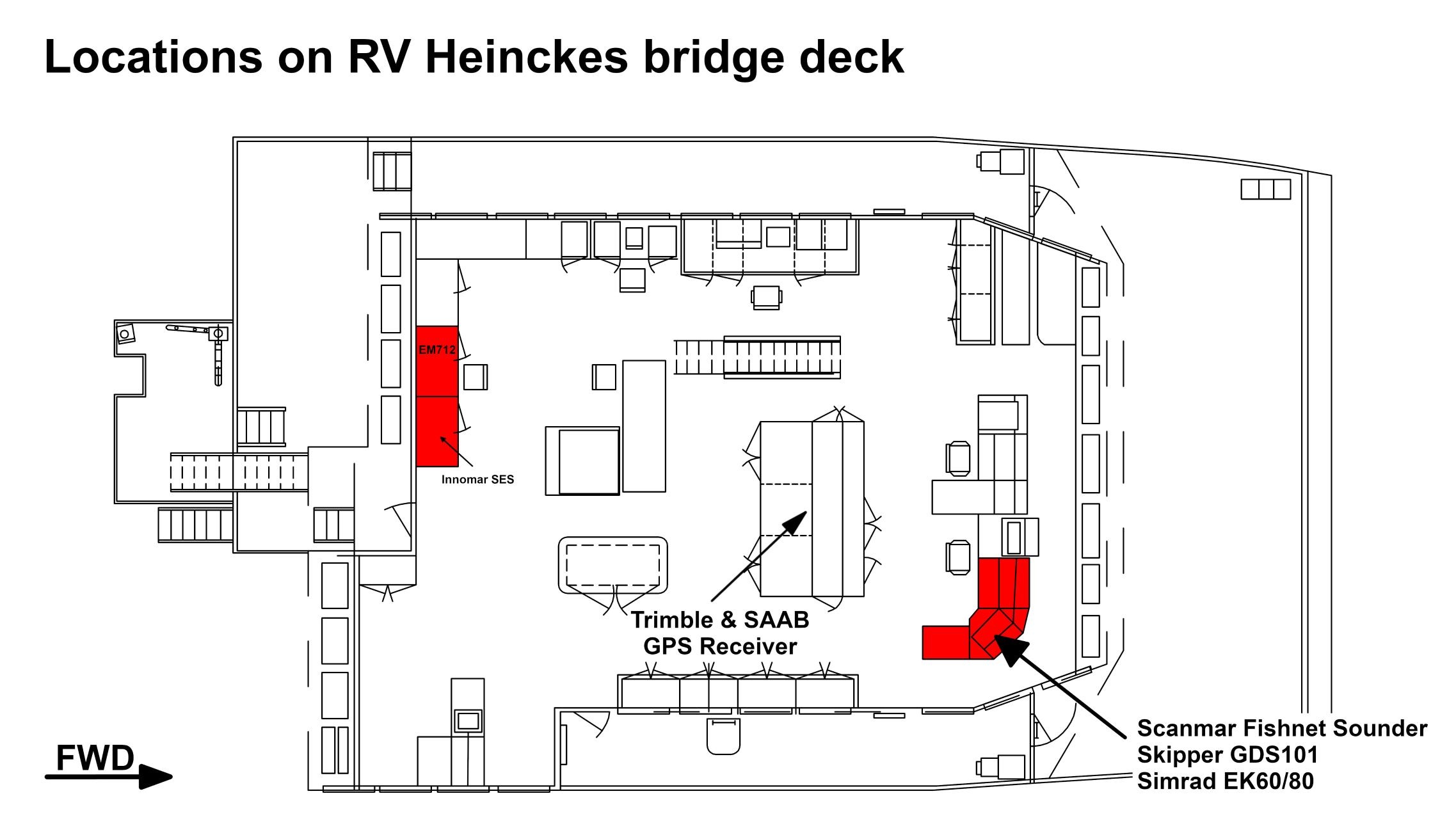
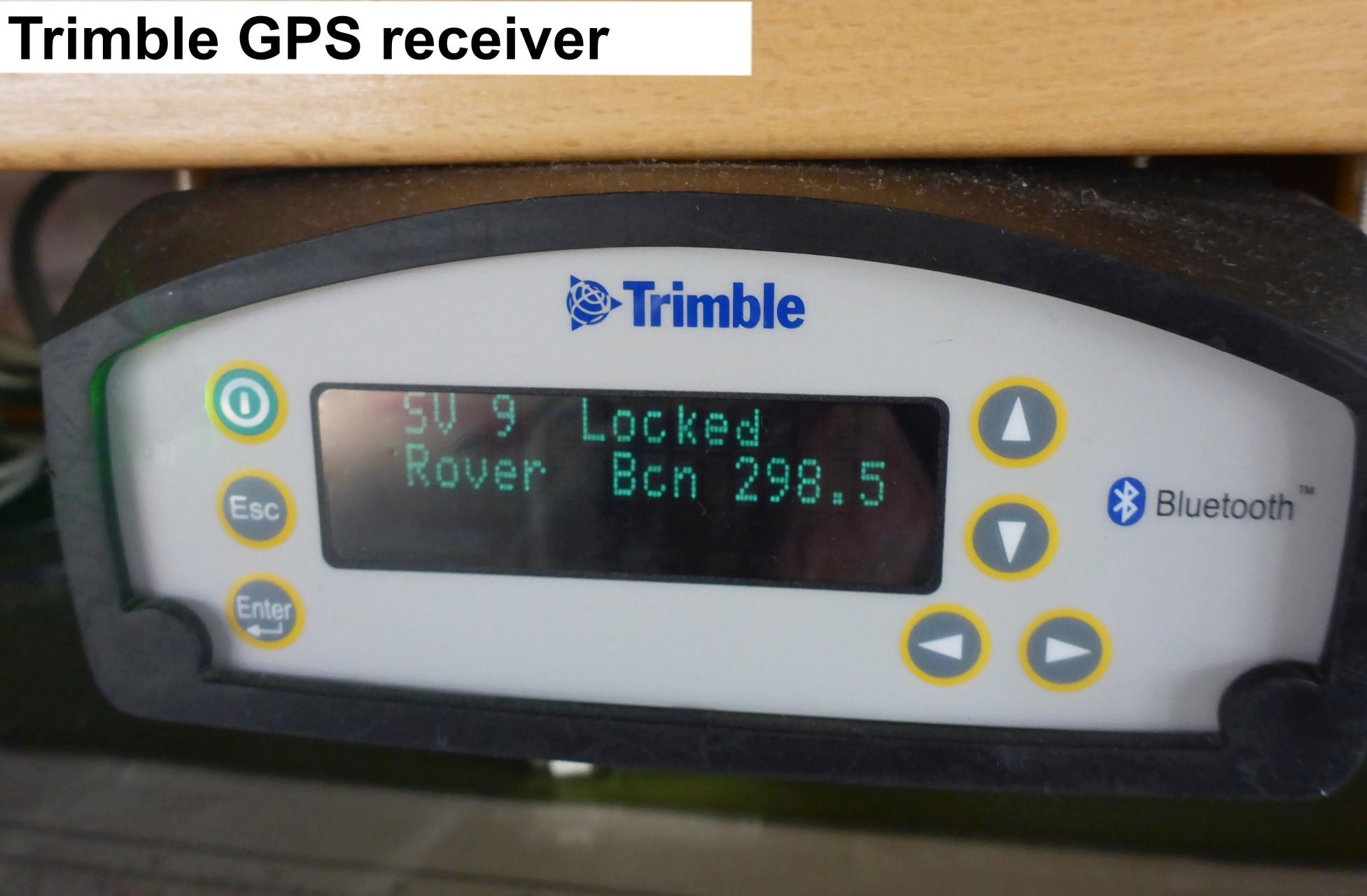
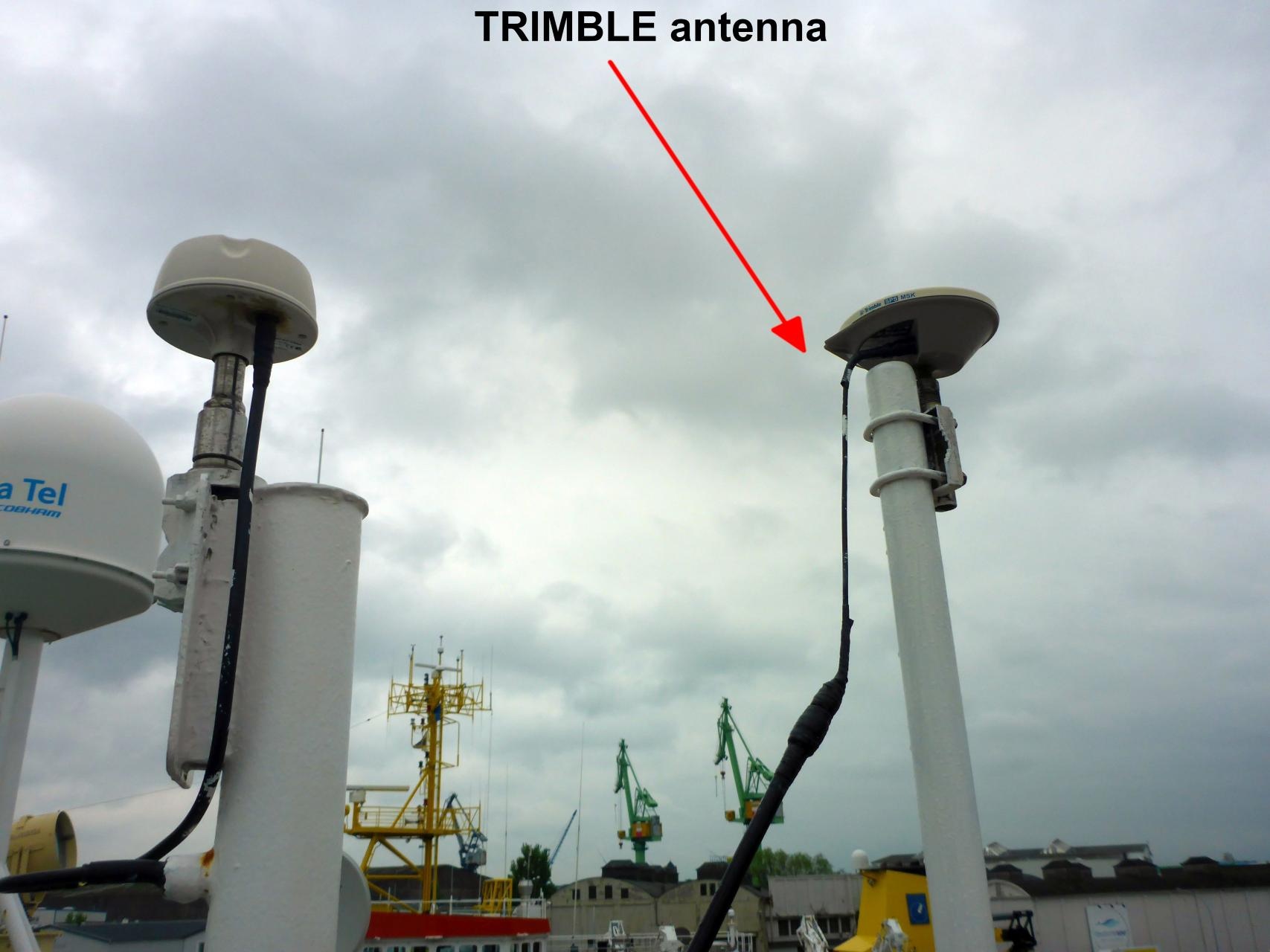
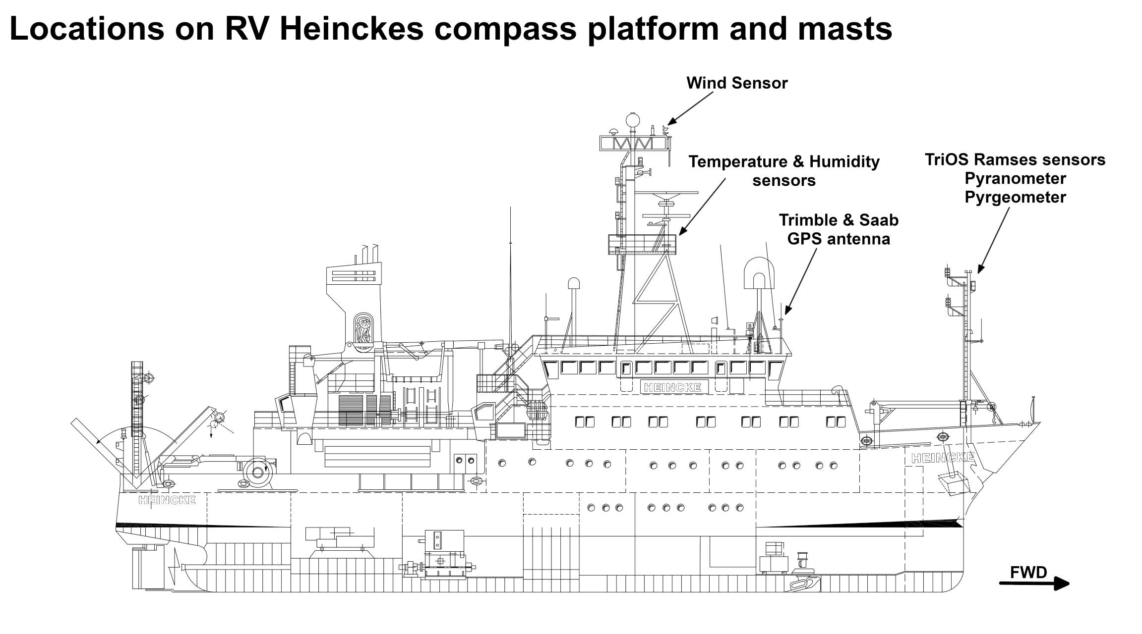
The GPS receiver is installed on the bridge deck. The antenna is installed on the observation deck.
...
| Sensorweb integration |
|---|
| urn | vessel:heincke:trimble_5228k50585 |
|---|
| contenttype | Subdevices |
|---|
|
No subdevices found for this sensoravailable. |
Position
| Sensorweb integration |
|---|
| urn | vessel:heincke:trimble_5228k50585 |
|---|
| contenttype | LocalFrame |
|---|
|
Origin Description:| Info | xyz-position of antenna from Alignment Survey Report RV Heincke (January 2016). Antenna located on observation deck, device located on bridge deck. | | X |
: | 39.6 m
(Positive X axis is forward and along the centerline of the vessel with X0 at the Stern point of the vessel. ) | | Y |
: | -2.129 m
(Positive Y axis is portside of centerline with Y0 at centerline at the Very stern point of the vessel. ) | | Z |
: | 16.433 m
(Positive Z axis is upwards of basis. Z0 is set to the hydrophone on midship.) |
|
Data logging, storage and archiving
...
| Sensorweb integration |
|---|
| urn | vessel:heincke:trimble_5228k50585 |
|---|
| contenttype | Parameters |
|---|
|
| Parameter | Sensor Output Type | Unit |
|---|
latitude | latitude | degree| longitude | longitude | degree | | altitude | distance | m | | course over ground | attitude | degree | | day | date and time | day | | latitude | latitude | degree | | month | date and time | month | | longitude | longitude | degree | | year | date and time | year | | differential reference station ID | index | number | | GPS quality indicator | quality flag | number | | number of satellites | index | number | | speed over ground | speed | knots | | altitude | distance | m |
|
Additionally a computer is installed receiving T02 data from this sensor. These data are used to calculate GPS tide. Three different services are available: 1=Uncorrected, 2=Ultra-rapid and 3=Rapid/Final. GPS tide is provided as two column file (date/time, height) to be used by multibeam echo sounder. See more details in Heincke_GPS_Tide_v20191016.pdf.
...