| Note | ||
|---|---|---|
| ||
The system is run by the Weather Station (DWD). Scientific co-use is possible according to prior agreement with AWI Logistics / Principal Investigator. |
Summary
| Sensorweb integration | ||||
|---|---|---|---|---|
| ||||
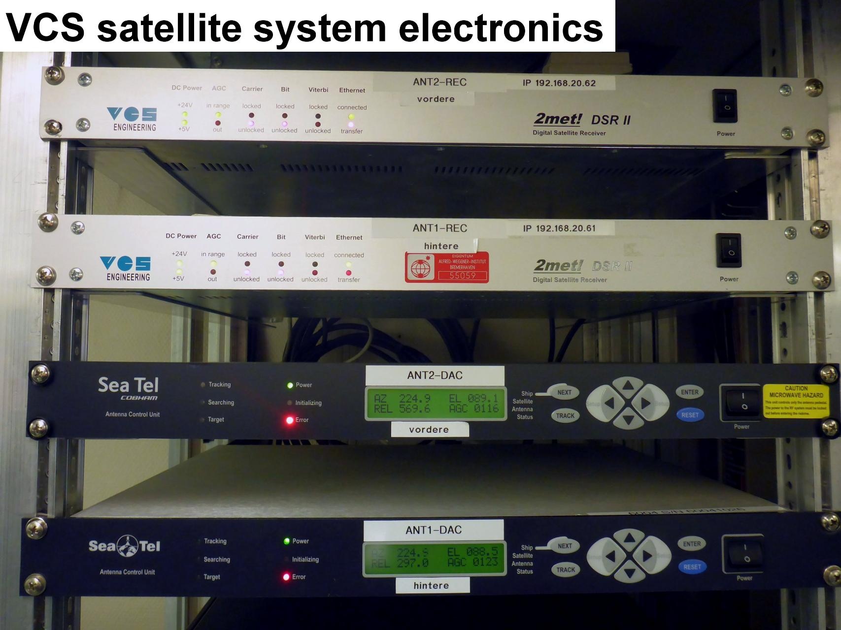
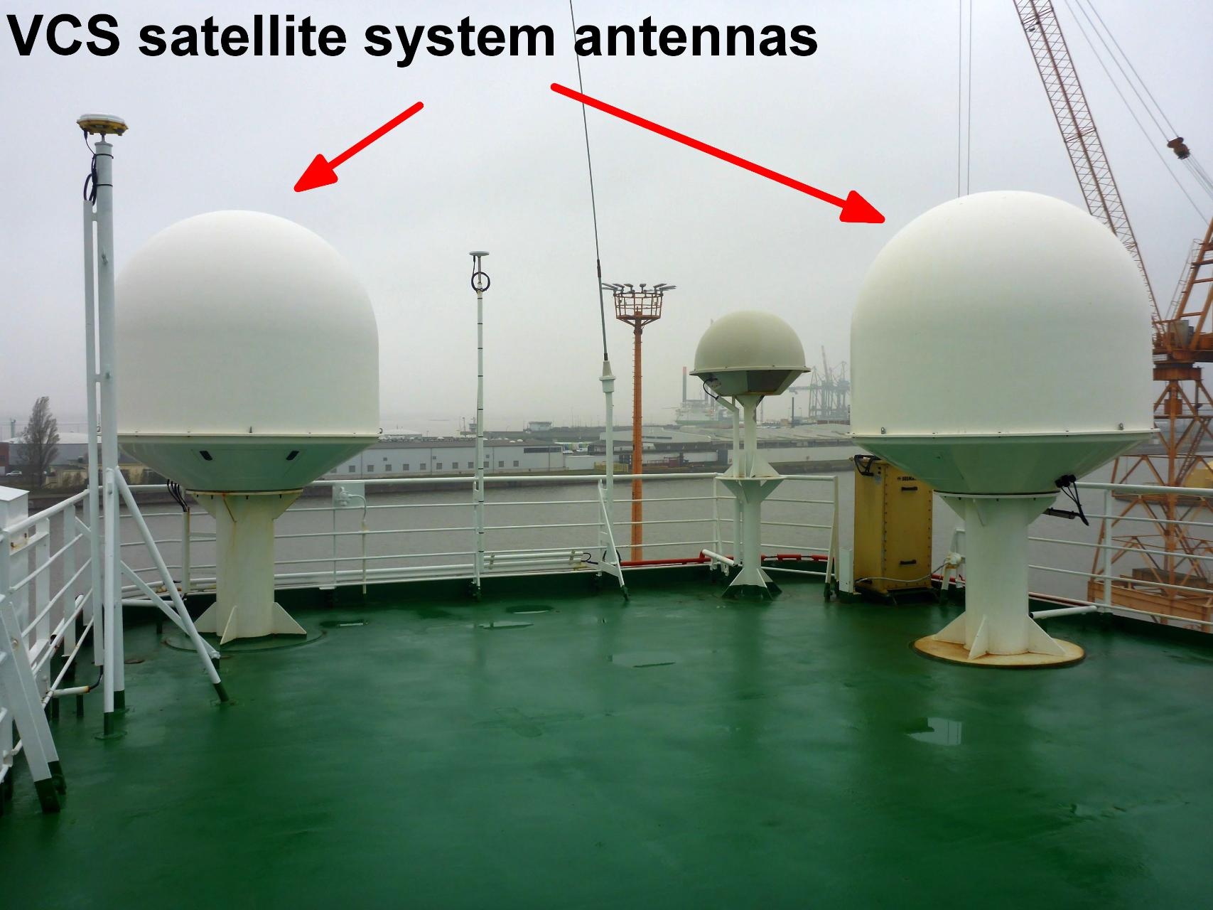
The VCS satellite system is used to receive images from NOAA, FENGYUN and METOP satellites. The system is redundant with a backup VCS installed. The satellite images are used for wheater forecast especially for nautical purpose, helicopter flight planning and scientific work planning. vessel:polarstern:vcs (1404) |
| Sensorweb integration | ||||||||
|---|---|---|---|---|---|---|---|---|
| ||||||||
|
| Sensorweb integration | ||||
|---|---|---|---|---|
| ||||
   |
Contacts
| Sensorweb integration | ||||||
|---|---|---|---|---|---|---|
| ||||||
|
Components
| Metadata (Metadata Plugin) | ||
|---|---|---|
| ||
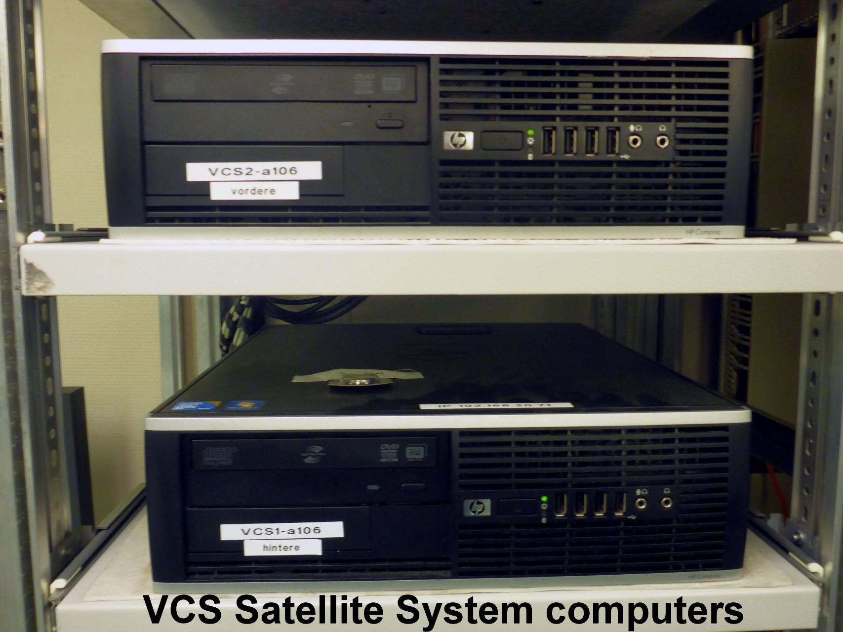
The system consists of the VCS antennas, the VCS electronic unit and VCS computers with a backup VCS installed. |
Subdevices
| Sensorweb integration | ||||||
|---|---|---|---|---|---|---|
| ||||||
|
| Metadata (Metadata Plugin) | ||
|---|---|---|
| ||
| Metadata (Metadata Plugin) | ||
|---|---|---|
| ||
| Metadata (Metadata Plugin) | ||
|---|---|---|
| ||
Documentation
| Sensorweb integration | ||||
|---|---|---|---|---|
| ||||