At the end of an expedition or in time periods with a stable internet connection the sensor data will be transferred to the archive system PANGAEA without any effort from your side.
- As part of this procedure the new sensor data will be checked against the file- and directory-naming convention you described once before (have a look at Part 1).
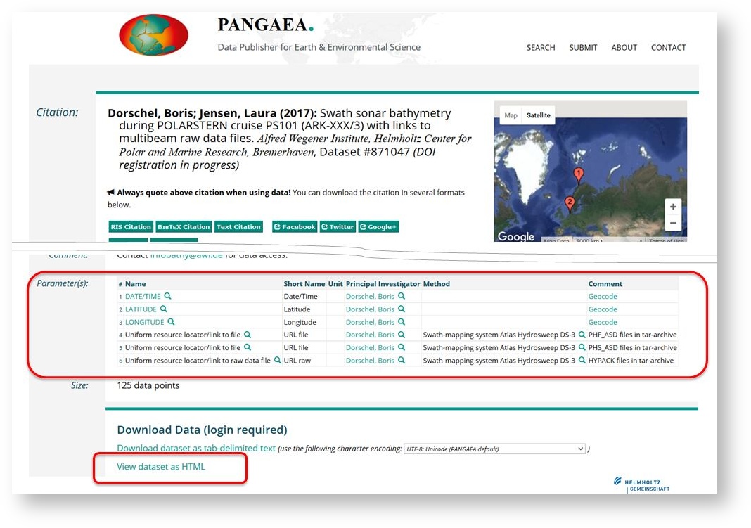
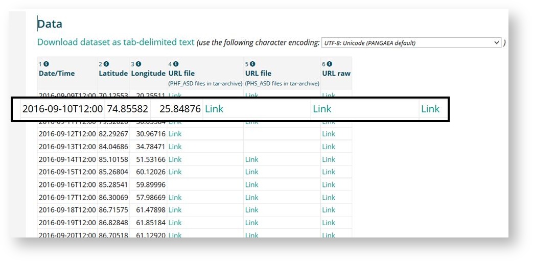
- When your sensor was installed on a large scale platform and the data file or directory name contains the date and time information, it will be used to create the geographical position for that file as part of the metadata file list. The error corrected mastertrack of the platform (....ePIC...) is used therefore. Please note that the preparation of the mastertrack takes about 4 to 6 weeks after the track data (Part of the dship-system) is available onshore. At the PANGAEA data page each file is described by its metadata consisting of date, time, geographical position and filename.
- Other sensor data without date/time-information as part of the filename will be combined to one or some files. These files will be listed with there names at the PANGAEA data page.
- When your sensor was installed on a large scale platform and the data file or directory name contains the date and time information, it will be used to create the geographical position for that file as part of the metadata file list. The error corrected mastertrack of the platform (....ePIC...) is used therefore. Please note that the preparation of the mastertrack takes about 4 to 6 weeks after the track data (Part of the dship-system) is available onshore. At the PANGAEA data page each file is described by its metadata consisting of date, time, geographical position and filename.
- Each set of data receives a DOI.

