Attention:
Please note that operations of the Multibeam Echo Sounder Hydrosweep DS3 requires experienced scientific staff on board and can be only operated upon request. The system is not operated by the ship's crew. Request operations with the Multibeam Echo Sounder Hydrosweep DS3 to AWI-Bathymetry and AWI-Logistics in sufficient time prior to the cruise and clarify the data transfer after the cruise.
Summary
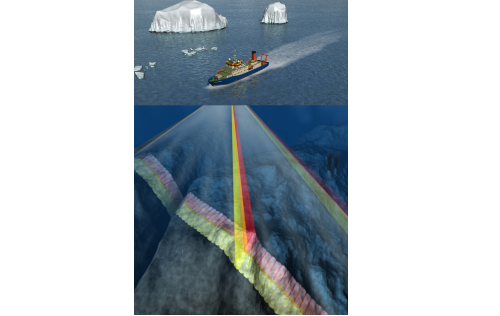
The Multibeam Echo Sounder uses several frequencies to map the topography of the seafloor. It also provides information about the texture of the seafloor as well as the structure of the water body.
vessel:polarstern:hydrosweep_ds3 (1393)
| Manufacturer | Teledyne RESON (ATLAS Hydrographic before takeover) |
|---|---|
| Model | Hydrosweep DS3 |
| Serial No. | n/a |
| Type | multi-beam echosounder |
Transducer Frequency
Contacts
| Name | Institution | Role |
|---|---|---|
| Boris Dorschel | Alfred-Wegener-Institute for Polar and Marine Research | Engineer In Charge, Data Scientist |
| Alfred Wegener Institute for Polar and Marine Research | Alfred Wegener Institute, Helmholz Centre for Polar and Marine Research | Owner |
Components
Subdevices
| Name | Model | Serial Number |
|---|---|---|
| Hydrosweep RX transducer array | Hydrosweep DS3 | n/a |
| Hydrosweep TX transducer array | Hydrosweep DS | n/a |
Position
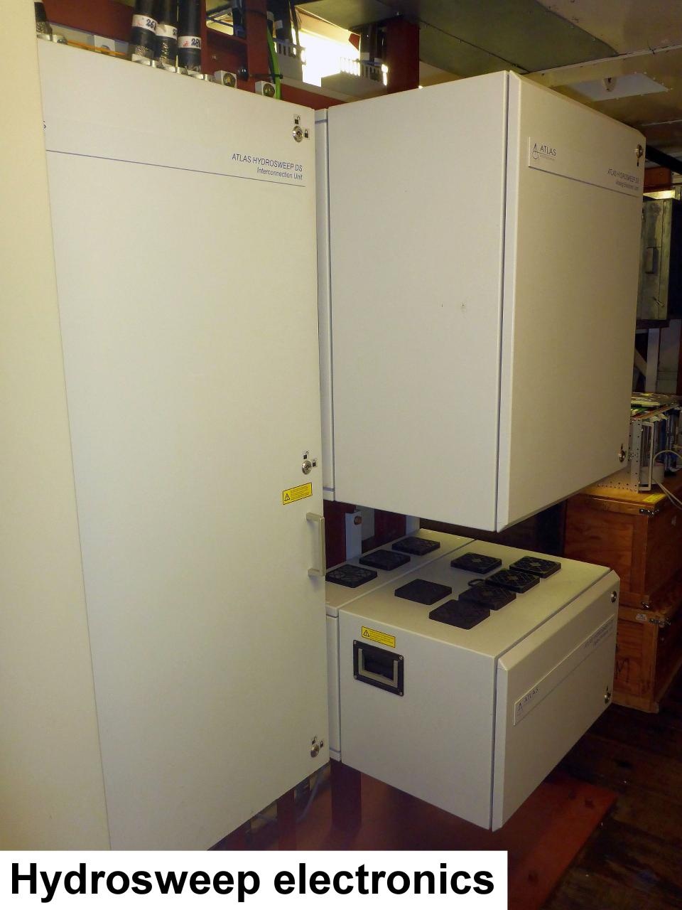
| Info | xyz-position calculated from Alignment Survey Report (2016) to be center between Tx and Rx transducer. Transducer arrays located in box keel, electronics located in E525A, operating computers located in E550 (HSPS-room) |
| X | 77.162 m (X-0 is at the center of der rudder (ref. design drawing of the vessel), positive X-axis is forward and along vessel centerline) |
| Y | 0.001 m (Y-0 at centerline, positive Y-axis is portside) |
| Z | 0.017 m (Z-0 is set to the lowest point of the keel, positive Z-axis is upwards) |
Data logging, storage and archiving
Logged parameters
| Parameter | Sensor Output Type | Unit |
|---|---|---|
| depth | depth | m |
| Hydroacoustic backscatter | backscatter strength | V |
Central geographical ship's position and time standard
Geographical ship's position via HYDRINS centering to HYDRINS offset correction in AHC.
Rawdata storage on board
root directory |
data01 |
|---|---|
directory name |
CruiseNo |
file name |
HS3PHF_YYYY-MM-DDThhmmssZ_XXXXXXXX.asd.acf |
Data volume (MB per day) ca |
4000 |
Number of files per day ca |
48 |
Dship
Device name |
hydrosweep |
|---|---|
Parameters |
depth [m] |
Data archiving on land
File format(s) |
*.asf, *.hsx |
|---|---|
Calibration certificates |
NO |