Attention:
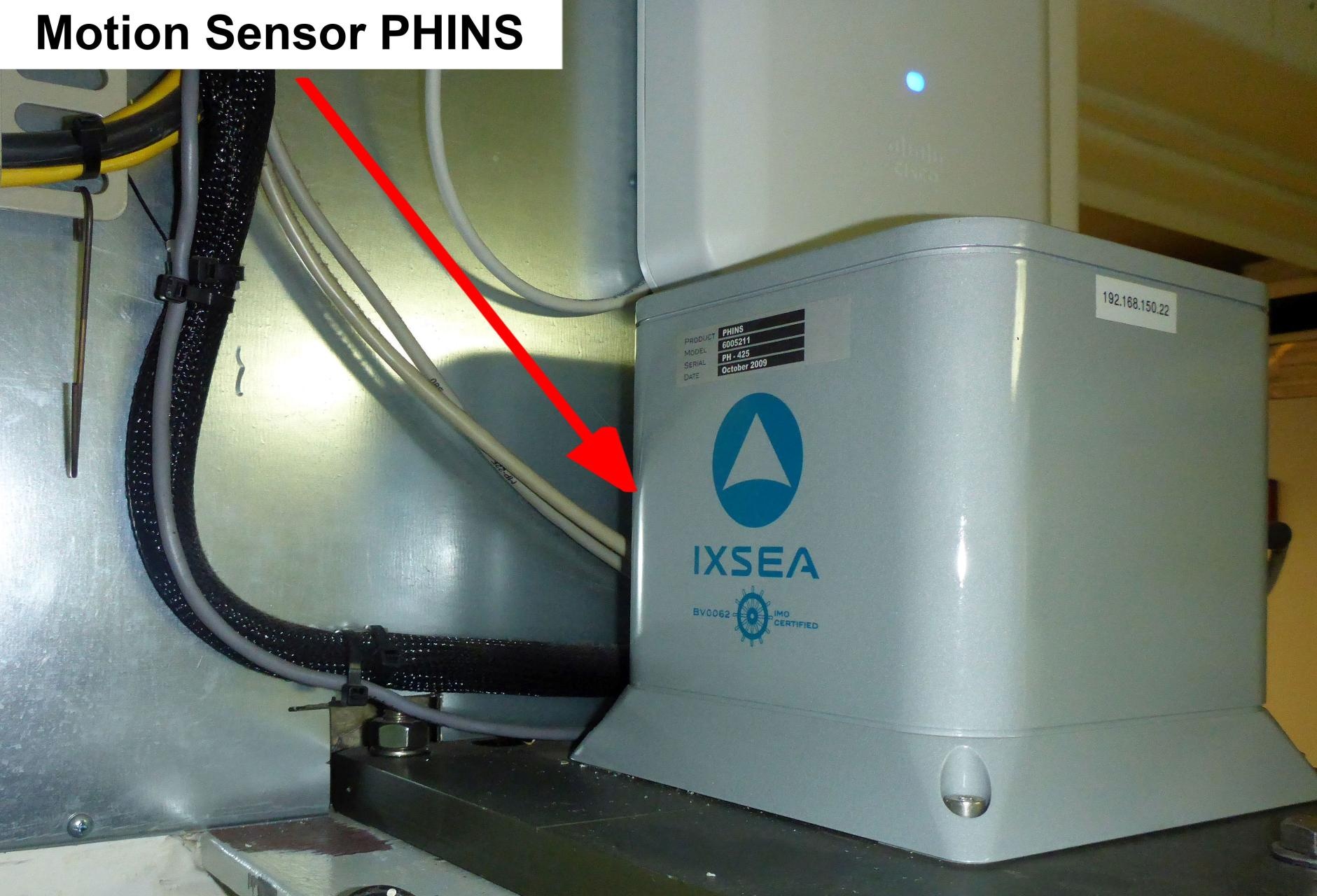
The Motion Sensor PHINS is operated by ship's command only.
Summary
PHINS is an inertial navigation system providing position, true heading, attitude, speed, depth and heave.
| Manufacturer | iXblue |
|---|---|
| Model | PHINS |
| Serial No. | n/a |
| Type | motion sensor |
Contacts
| Role | Name |
|---|---|
| Data Provider | Gerchow, Peter |
| Engineer In Charge | Krocker, Ralf |
Components
PHINS system consists of the sensor and the configuration and monitoring software IXRepeater.
No subdevices found in sensor.awi.de.
Position
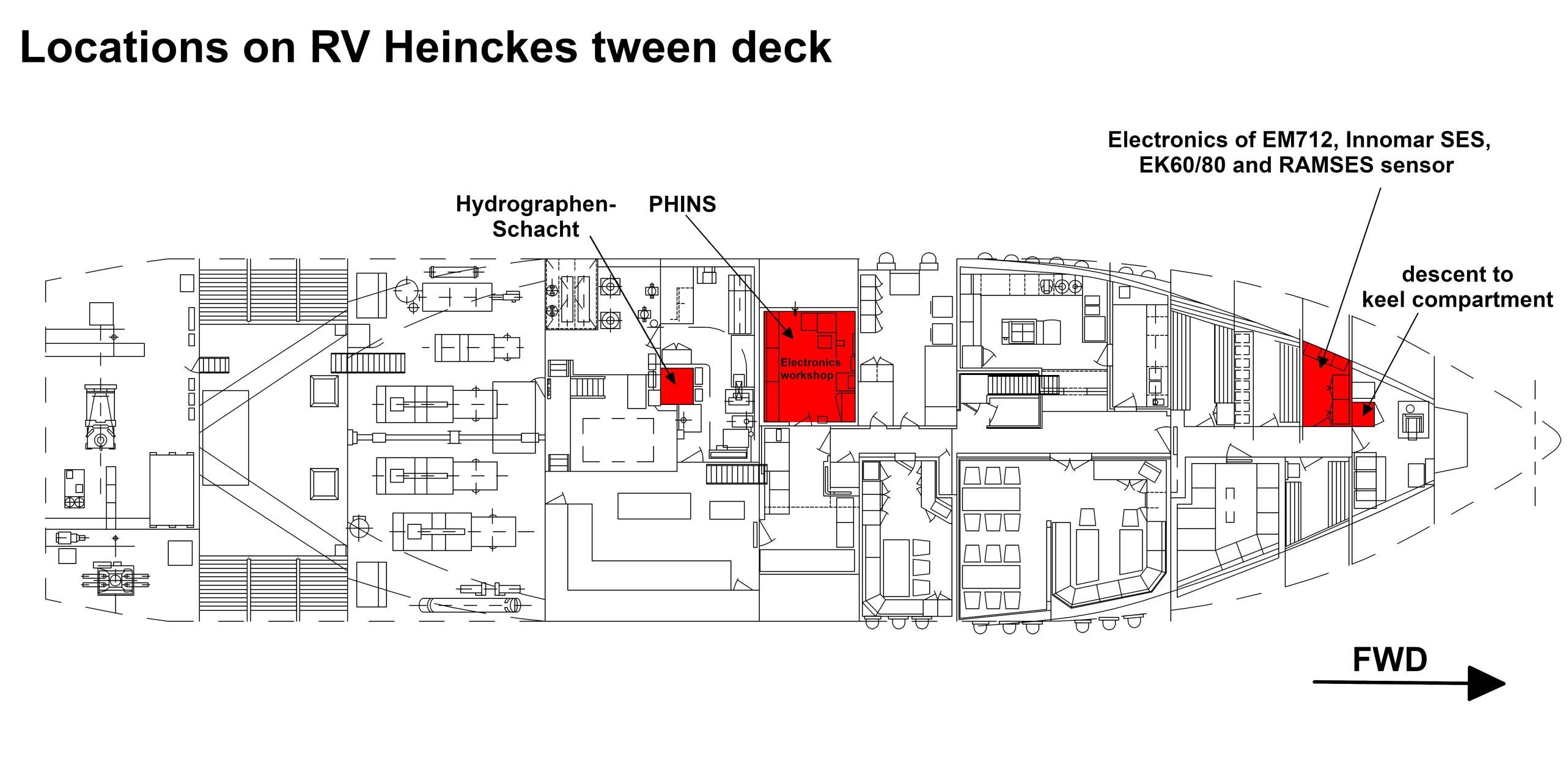
| Origin Description: | xyz-position of PHINS from Alignment Survey Report RV Heincke (January 2016) |
| X: | 25.952 m (Positive X axis is forward and along the centerline of the vessel with X0 at the Stern point of the vessel.) |
| Y: | -0.847 m (Positive Y axis is portside of centerline with Y0 at centerline at the Very stern point of the vessel.) |
| Z: | 5.027 m (Positive Z axis is upwards of basis. Z0 is set to the hydrophone on midship.) |
Data logging, storage and archiving
Logged parameters
| Parameter | Sensor Output Type | Units | MeasurementProperties |
|---|---|---|---|
| heading | attitude | degree | |
| heave | attitude | m | |
| latitude | latitude | degree | |
| longitude | longitude | degree | |
| pitch | attitude | degree | |
| roll | attitude | degree |
Central geographical ship's position and time standard
Time synchronization is done by DShip receiving the data for logging.
Rawdata storage on board
Data storage in DShip system.
| Device name | PHINS |
| Parameter | Heading [deg]; Heave [m]; Latitude [deg]; Longitude [deg]; Pitch [deg]; Roll [deg]; |
Data archiving on land
After the cruise the DShip data set can be extracted from https://dms.awi.de.