Page History
| Status | ||||||
|---|---|---|---|---|---|---|
|
| Author | |
|---|---|
| Technical Contacts | Media and media workflow: Christopher Krämmer Geo serverGeoServer: Peter Konopatzky Andreas Walter Viewer: Robin Heß |
| Version | 0.9 |
| Date | August 2023 |
Content
| Table of Contents |
|---|
GeoServer
Contact us for data exchange, etc.
Data exchange
The data can be hosted on the AWI GeoServer infrastructure. There are two important stages:
- File format and file exchange
- Layer configuration
For both stages, a coordination with the GeoServer team is necessary. Please let us know if you intend to host your data with the AWI GeoServer infrastructure.
File format and file exchange
Hosting of the data can be done via a Geo server at AWI. In order to import the data into the geo server database GeoServer database and to allow the highest possible flexibility on for the part of the data provider, the O2A specification for GeoCSV (.sdi.csv) format was agreed upon.
Example files for media data:
| View file | ||||
|---|---|---|---|---|
|
| View file | ||||
|---|---|---|---|---|
|
| View file | ||||
|---|---|---|---|---|
|
| View file | ||||
|---|---|---|---|---|
|
| View file | ||||
|---|---|---|---|---|
|
| View file | ||||
|---|---|---|---|---|
|
Exchange point for data ingest
Layer definitions, styles i.e., abstract etc.
Git repository O2A Spatial Data Products
upcoming O2A Data Product Configuration SOP
Various options for data exchange are possible, such as shared projects in the cloud or git repositories.
For inquiries about exchange location and database ingestion frequency, please reach out to the GeoServer team.
Layer configuration
Besides the database, the GeoServer offers additional layer information, e.g. abstract, title, keywords. Moreover, there are other configuration options that the product owner must decide upon before the final layer can be hosted.
You can find out more about this topic in the O2A Data Product Configuration SOP. The corresponding configuration repository is O2A Spatial Data Products.owner.layer.toml
Provision of web media
Making videos and photos available on the web typically involves a two-step process. First, they need to be transcoded, and then delivered via a web server. The subsequent sections present an overview of tools and recommendations that can assist you in this process.
...
ELEMENTS Image Broker: Web-API that brokers access to ELEMENTS content based on custom data fields, i.e. image-uuid. Based It is based on the implementation of the IIIF image standard with ELEMENTS as data source. For a detailed description and usage, see the git repository.
...
Web server: Use state of the art and proven hosting applications, like NGINX or Apache HTTP Server.
HTTP/2: Improves Activate HTTP/2 to improve page loading speed, among others, via multiple request over one connection, binary protocol and compression of request headers.
Load balancing: Set up load balancing. Multiple combined media servers allow higher throughput (especially image broker) and provide fault tolerance.
...
These data provisioning configuration files, along with their respective arrangements, are built on a predefined structure. You can find the documentation heredocumentation in the O2A Data Product Configuration SOP.
The repository for sharing your configuration files is located in the O2A Spatial Data Products repository. For access and further permissions, please contact the viewer team.
...
Clicking on a data point on the map triggers the appearance of a popup, which provides an overview of the data. Its style and information is configured via a template file written in markdown. Here, readable text can be used instead of mapped to the technical names from of the data.
Example:
| View file | ||||
|---|---|---|---|---|
|
The viewer documentation contains a comprehensive list of all functions available for displaying data. . In case anything is missing, please get in touch with the viewer team.
Sidebar template
The sidebar template provides an overview of all the data associated with a data point. Besides displaying data in text form, media data can also be configured for playback.
...
Additionally, photos can be integrated in the sidebar. By providing urls URLs to images in multiple resolutions, responsive image loading can be used. This is further supported by the lightbox that opens when the image is clicked, thus providing an enlarged view in adaptive resolution.
The required functions and all other template functions are available in the viewer documentation.
...
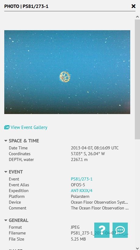
The media gallery provides a simple way to get an overview of all media files, e.g. in a dataset. In this lightbox, photos can be zoomed and viewed more closely, and videos can be played directly in the video player. Besides that, there is a metadata section that displays information from the item in the geo server GeoServer layer. Moreover, it makes it possible to share items in the media gallery via links.
...
| Query Parameter | Query Value | Required | Note |
|---|---|---|---|
| site | gallery | ✔️ | fixed query value |
| layer | <layer_name> | ✔️ | depend on the name of the layer in the geo server GeoServer database |
| filter | <cql-filter> | ✔️ | required to select a subset of the layer table, i.e., based on dataset, event, author etc. CQL and ECQL syntax can be used (more infos) |
| shareID | <persistent_identifier> | ❌ | if the persistent_identifier field is blank or does not exist in the gallery mapping file, the name field serves as the identifier, or if not present, a combination of location and time is used |
...
A gallery mapping file needs to be present to enable flexible data structures and provide full functionality inside the gallery. It maps the dataset vocabulary (values in mapping dict) to the gallery vocabulary (keys in mapping dict) and is required for each geo server GeoServer media layer.
All fields inside the mapping file are optional. If any field is missing, its corresponding functionality will not be enabled in the gallery.
...
Overview
Content Tools