Page History
...
More coming soon...
Gallery
Git repository O2A Spatial Data Products
based on viewer steps
gallery.mapping.json
- wie funktioniert das mit mapping: item["properties#harmonized"]["persistent_identifier"]. Falls nicht vorhanden über item["properties#harmonized"]["name"] und falls das nicht als Kompbination aus [item["properties#harmonized"]["date_time"], item.geometry.coordinates.join(separator)]
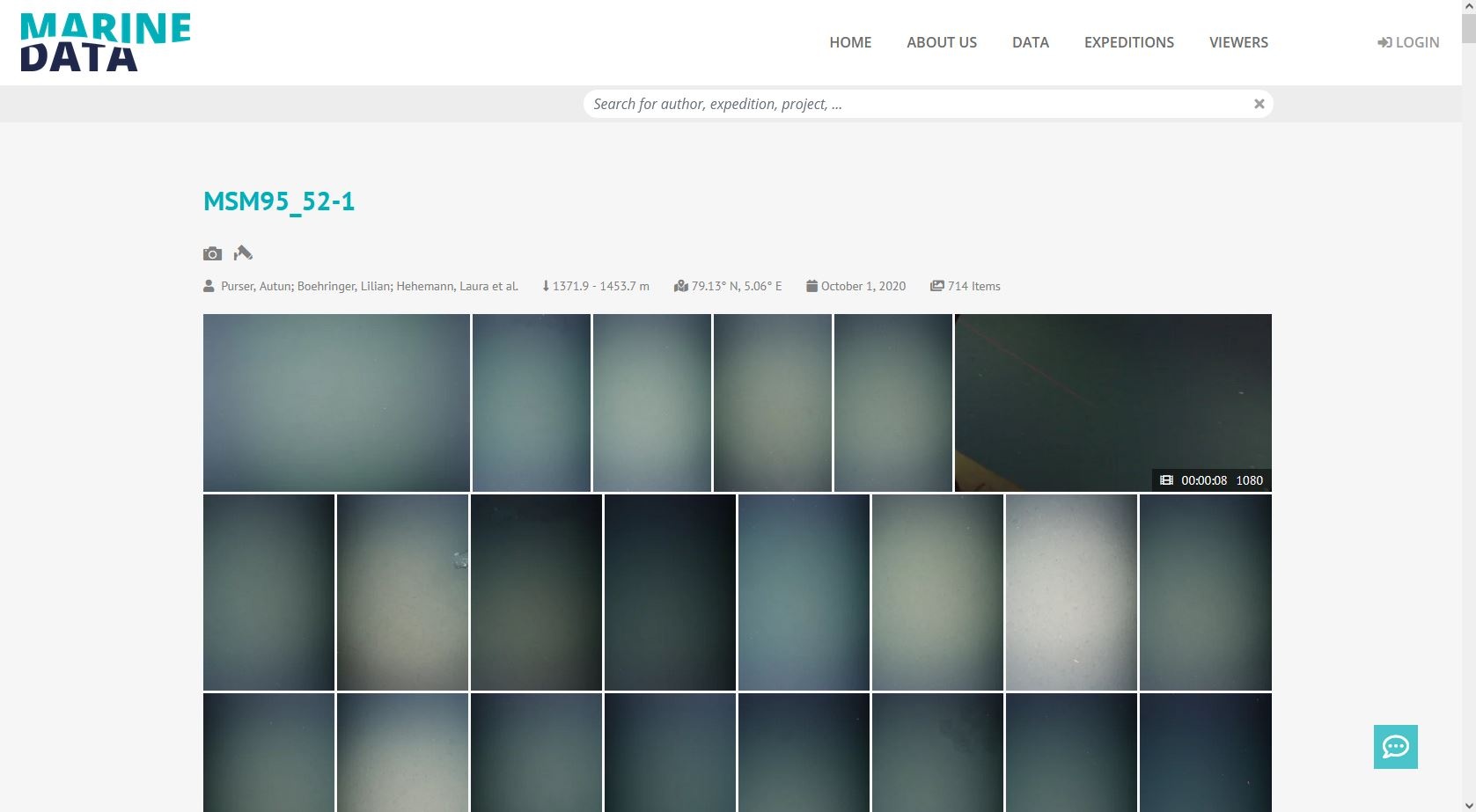
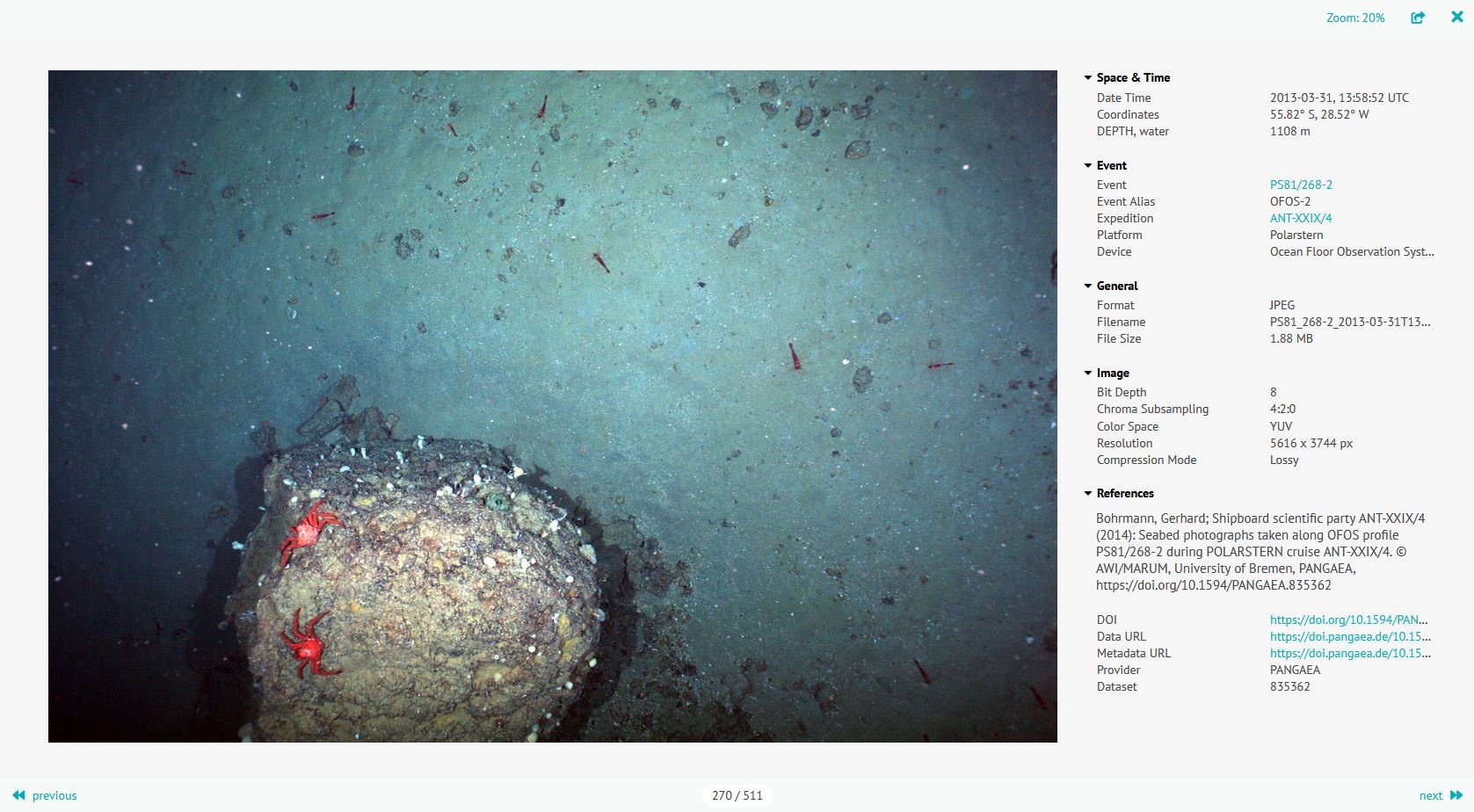
The media gallery provides a simple way to get an overview of all media files, e.g. in a dataset. In this lightbox, photos can be zoomed and viewed more closely, and videos can be played directly in the video player. Besides that, there is a metadata section that displays information from the item in the geo server layer. Moreover, it makes it possible to share items in the media gallery via links.
Demo gallery (with predefined configuration and dataset):
https://marine-data.de/?site=gallery
URL scheme
The gallery's content dependents on the URL query parameters. The parameters are composed as follows.
| Query Parameter | Query Value | Required | Note |
|---|---|---|---|
| site | gallery | ✔️ | fixed query value |
| layer | <layer_name> | ✔️ | depend on the name of the layer in the geo server database |
| filter | <cql-filter> | ✔️ | required to select a subset of the layer table, i.e., based on dataset, event, author etc. CQL and ECQL syntax can be used (more infos) |
| shareID | <persistent_identifier> | ❌ | if the persistent_identifier field is blank or does not exist in the gallery mapping file, the name field serves as the identifier, or if not present, a combination of location and time is used |
Example:
https://marine-data.de/?site=gallery&layer=photos&filter=event='PS81/268-2'&shareID=7940784348543460
Gallery mapping
A gallery mapping file needs to be present to enable flexible data structures and provide full functionality inside the gallery. It maps the dataset vocabulary (values in mapping dict) to the gallery vocabulary (keys in mapping dict) and is required for each geo server media layer.
All fields inside the mapping file are optional. If any field is missing, its corresponding functionality will not be enabled in the gallery.
Example:
| View file | ||||
|---|---|---|---|---|
|
Like all other configuration files, the gallery mapping file is part of the configuration repository and should be provided in O2A Spatial Data Products.Example
Overview
Content Tools