...
| Sensorweb integration | ||||
|---|---|---|---|---|
| ||||
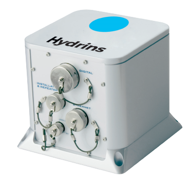
HYDRINS is a high-performance inertial navigation system (INS) optimized for hydrographic survey using multibeam echosounders. HYDRINS comprises a single compact unit and delivers highly accurate real-time position, heading, attitude and speed data.Position data are received from Trimble GPS and lever arm corrected to be centered in INS. Scientist can receive these positions (and other parameters) from DShip online export stream on every ethernet socket on board. The format of export stream is of NMEA style, but user can define an individual parameter composition. |
Hydrins 1
| Sensorweb integration | ||||||||
|---|---|---|---|---|---|---|---|---|
| ||||||||
|
Hydrins 2
| Sensorweb integration | ||||||||
|---|---|---|---|---|---|---|---|---|
| ||||||||
|
| Sensorweb integration | ||||
|---|---|---|---|---|
| ||||
   |
...
| Sensorweb integration | |||||||||
|---|---|---|---|---|---|---|---|---|---|
| |||||||||
|
Components
| Metadata (Metadata Plugin) | ||
|---|---|---|
| ||
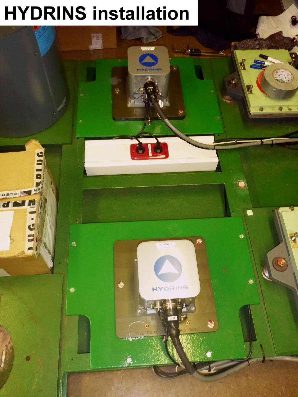
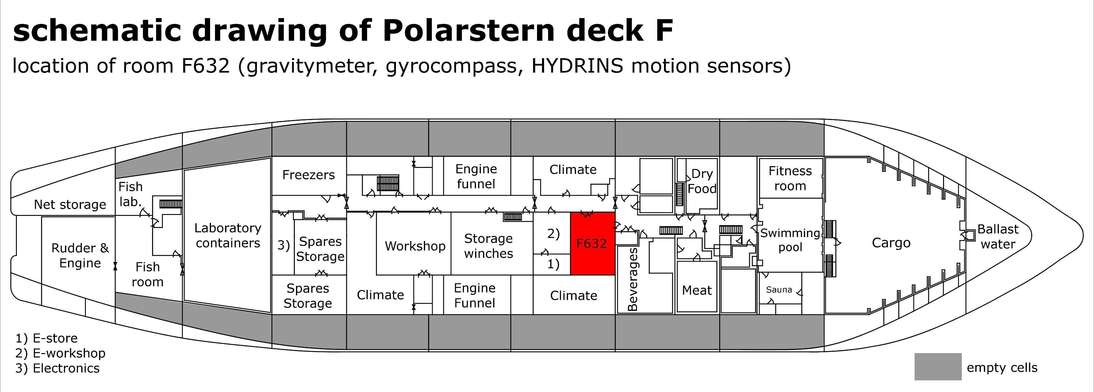
The sensor is an essential device providing motion and position data for a large number of scientific instruments. The system is receiving posiion data from GPS receiver and is delivering positions centered to Hydrins 1. Several output interfaces are defined to deliver different formatted data strings with different frequency to customers. The main device is a three component laser accerelometer. It is installed in Gravity Meter Room F-632. For backup there is a second system installed. Downstream equipment of Hydrins 1 and Hydrins 2 is ment to select on of both Hydrins to be active one and to deliver data to customers. Additionally converter boxes (Provided by firm FIELAX) are installed to split outgoing data stream and to convert it into several formats requested by customers. Nautical system NACOS is receiving position data from Hydrins as backup. |
...
| Sensorweb integration | ||||||||
|---|---|---|---|---|---|---|---|---|
| ||||||||
|
Hydrins 2
| Sensorweb integration | ||||||||
|---|---|---|---|---|---|---|---|---|
| ||||||||
|
Data logging, storage and archiving
...
| Sensorweb integration | ||||||||||||||||||||||||||||||||||||||||||||||||
|---|---|---|---|---|---|---|---|---|---|---|---|---|---|---|---|---|---|---|---|---|---|---|---|---|---|---|---|---|---|---|---|---|---|---|---|---|---|---|---|---|---|---|---|---|---|---|---|---|
| ||||||||||||||||||||||||||||||||||||||||||||||||
|
Central geographical ship's position and time standard
...