Page History
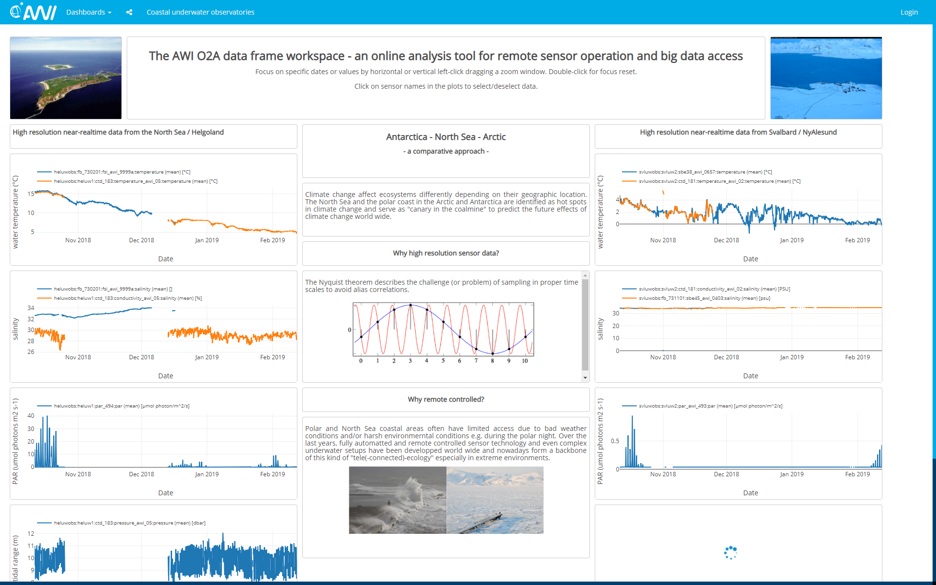
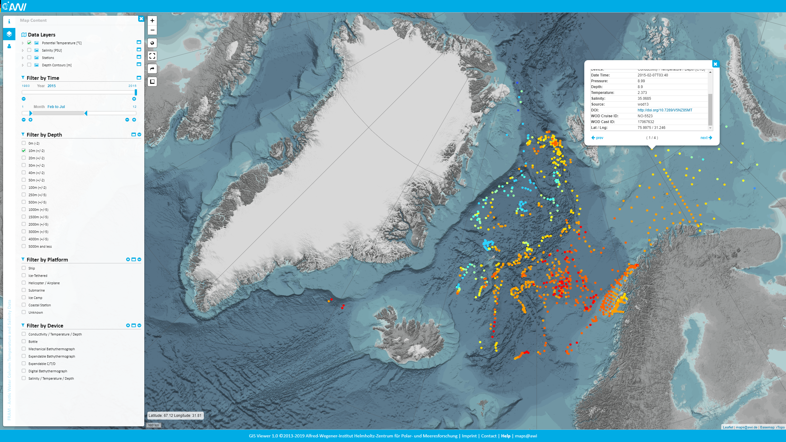
MAPS.awi.de offers a catalogue of AWI WebGIS projects along with quality-controlled maps. It provides
- Browse by region and project
- Metadata search
- User-friendly map viewing of all layers belonging to a project
- Information related to the individual WebGIS projects like such as links to archived datasets, publications and sensors, when applicable
- Re-use of layers in AWI data portal under "Collections"
Contact
Questions, feature requests, bugs?: ![]() o2a-support (at) awi.de
o2a-support (at) awi.de
Recommended Videos
| Widget Connector | ||||||
|---|---|---|---|---|---|---|
|
| Widget Connector | ||||||
|---|---|---|---|---|---|---|
|
Overview
Content Tools