| Note | ||
|---|---|---|
| ||
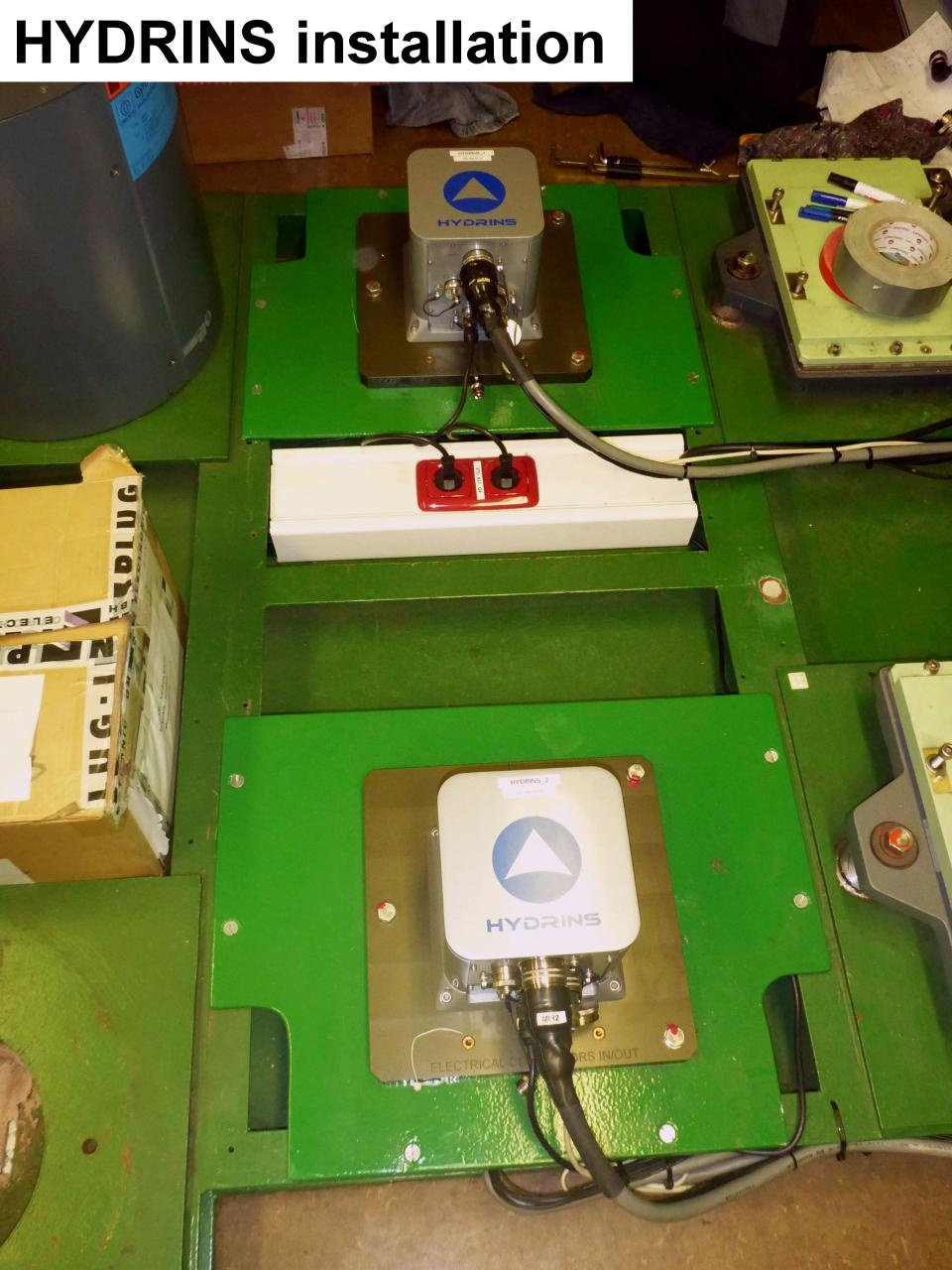
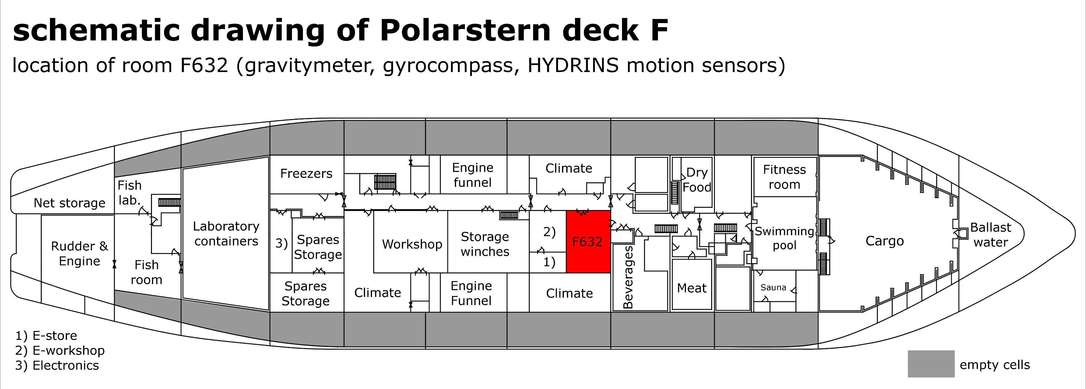
The Motion Sensors (Hydrins 1 and Hydrins 2) are operated by ship's command only. |
Summary
| Sensorweb integration | ||||
|---|---|---|---|---|
| ||||
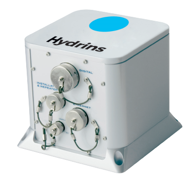
HYDRINS is a high-performance inertial navigation system (INS) optimized for hydrographic survey using multibeam echosounders. HYDRINS comprises a single compact unit and delivers highly accurate real-time position, heading, attitude and speed data. |
Hydrins 1
| Sensorweb integration | ||||||||||
|---|---|---|---|---|---|---|---|---|---|---|
| ||||||||||
|
Hydrins 2
| Sensorweb integration | ||||||||||
|---|---|---|---|---|---|---|---|---|---|---|
| ||||||||||
|
| Sensorweb integration | ||||
|---|---|---|---|---|
| ||||
   |
Contacts
| Sensorweb integration | |||||||||
|---|---|---|---|---|---|---|---|---|---|
| |||||||||
|
Components
| Metadata (Metadata Plugin) | ||
|---|---|---|
| ||
Position
Hydrins 1
| Sensorweb integration | ||||||||
|---|---|---|---|---|---|---|---|---|
| ||||||||
|
Hydrins 2
| Sensorweb integration | ||||||||
|---|---|---|---|---|---|---|---|---|
| ||||||||
|
Data logging, storage and archiving
Logged parameters
| Sensorweb integration | ||||||||||||||||||||||||||||||||||||||||||||||||
|---|---|---|---|---|---|---|---|---|---|---|---|---|---|---|---|---|---|---|---|---|---|---|---|---|---|---|---|---|---|---|---|---|---|---|---|---|---|---|---|---|---|---|---|---|---|---|---|---|
| ||||||||||||||||||||||||||||||||||||||||||||||||
|
Central geographical ship's position and time standard
| Metadata (Metadata Plugin) | ||
|---|---|---|
| ||
Rawdata storage on board
| Metadata (Metadata Plugin) | ||
|---|---|---|
| ||
Dship
| Metadata (Metadata Plugin) | ||
|---|---|---|
| ||
| Metadata list |
|---|
Data archiving on land
| Metadata (Metadata Plugin) | ||
|---|---|---|
| ||
| Metadata list |
|---|
Documentation
| Sensorweb integration | ||||
|---|---|---|---|---|
| ||||