...
| Note |
|---|
|
The Ship Navigation Platform (NACOS) is operated by ship's command only. |
Summary
| sensorweb-integration |
|---|
| urn | vessel:polarstern:nacos |
|---|
| contenttype | Summary |
|---|
|
The NACOS ship navigation system is the main software platform for all processes concerning navigation and ship maneuvers. |
| sensorweb-integration |
|---|
| urn | vessel:polarstern:nacos |
|---|
| contenttype | Metadata |
|---|
|
| Manufacturer | Wärtsilä SAM Electronics |
|---|
| Model | NACOS Platinum |
|---|
| Serial No. | n/a |
|---|
| Type | navigation system |
|---|
| REGISTRY-Link | ↪ REGISTRY (1401) |
|---|
|
| sensorweb-integration |
|---|
| urn | vessel:polarstern:nacos |
|---|
| contenttype | Images |
|---|
|
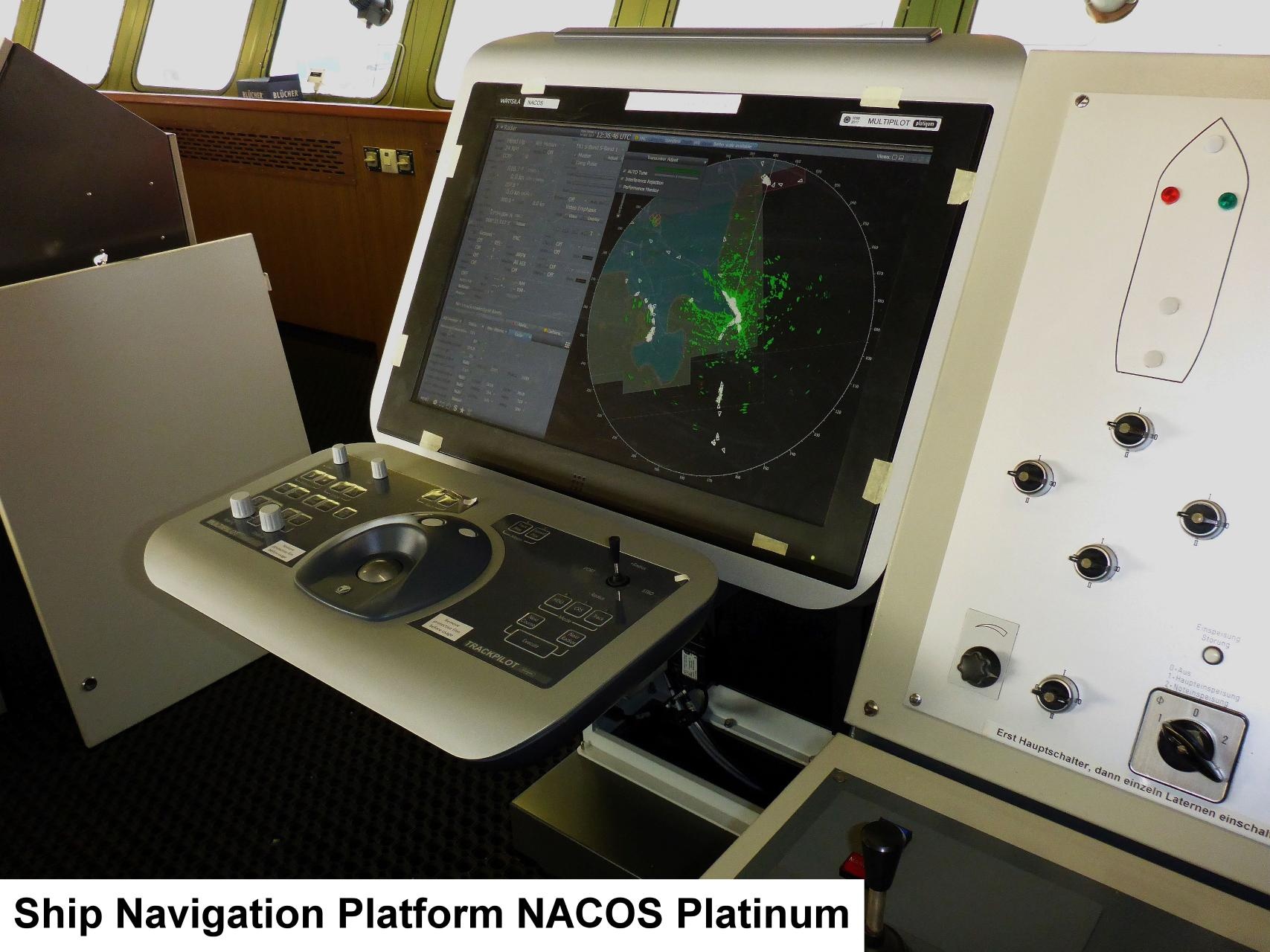 Image Added Image Added |
Contacts
| sensorweb-integration |
|---|
| urn | vessel:polarstern:nacos |
|---|
| contenttype | Contacts |
|---|
|
| Name | Institution | Role |
|---|
| Reederei Laeisz | F. Laeisz | Engineer In Charge |
|
Components
| Metadata (Metadata Plugin) |
|---|
|
|
Position
| sensorweb-integration |
|---|
| urn | vessel:polarstern:nacos |
|---|
| contenttype | LocalFrame |
|---|
|
|
...
html-Links Spaces:
Summary
Description
Contacts
Parameters
Resources
Events
Subdevices
Images
Position
----------------------------------------------------------------------
| position given, operation platform located on bridge | | X | 0.0 (no unit given)
(no description given) | | Y | 0.0 (no unit given)
(no description given) | | Z | 0.0 (no unit given)
(no description given) |
|
Data logging, storage and archiving
Logged parameters
| Sensorweb integration |
|---|
| urn | vessel:polarstern:nacos |
|---|
| contenttype | Parameters |
|---|
|
| Parameter | O2ARegistry Output Type | Unit |
|---|
| EW | longitude | deg | | identifier | quality flag | unknown | | message mode | quality flag | unknown | | message number | quality flag | unknown | | NS | latitude | deg | | route ld | quality flag | unknown | | speed bottomtrack across | speed | knot | | speed bottomtrack ahead | speed | knot | | speed made good | speed | knot | | speed watertrack across | speed | knot | | speed watertrack ahead | speed | knot | | system course | attitude | deg | | system course status | quality flag | unknown | | system heading | attitude | deg | | system heading status | quality flag | unknown | | system position latitude | latitude | deg | | system position longitude | longitude | deg | | system position status | quality flag | unknown | | system speed | speed | knot | | system speed status | quality flag | unknown | | system speed unit | index | unknown | | track made good | distance | deg | | track speed status | quality flag | unknown | | waypoint ID From | index | unknown | | waypoint ID to | index | unknown | | waypoint position EW | longitude | deg | | waypoint position longitude | longitude | deg | | waypoint position NS | latitude | deg | | waypoint position latitude | latitude | deg |
|
Central geographical ship's position and time standard
| Metadata (Metadata Plugin) |
|---|
|
|
Rawdata storage on board
| Metadata (Metadata Plugin) |
|---|
|
|
Dship
| Metadata (Metadata Plugin) |
|---|
|
|
Data archiving on land
| Metadata (Metadata Plugin) |
|---|
|
|
Documentation
| Sensorweb integration |
|---|
| urn | vessel:polarstern:nacos |
|---|
| contenttype | Resources |
|---|
|
|
...