...
| Sensorweb integration | ||||
|---|---|---|---|---|
| ||||
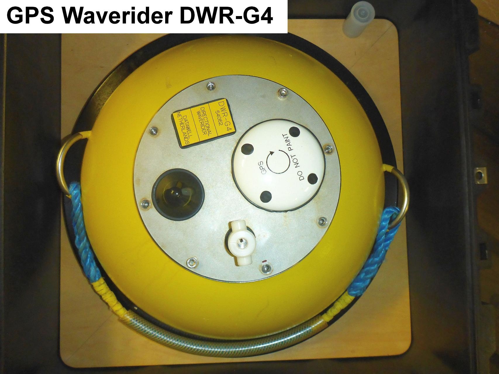
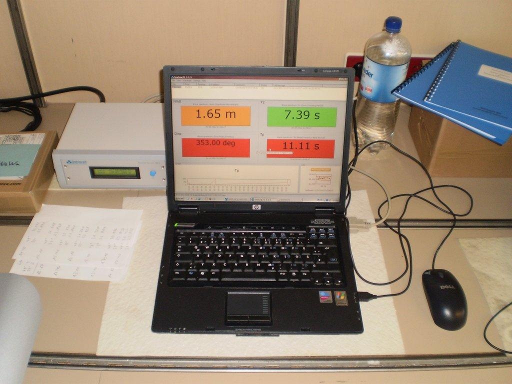
The directional waverider DWG-G4 measures wave motion, height and direction. Temperature may also be obtained. The waverider is deployed when needed. The antenna is fixed installed in the upper mast platform. The receiver and operation laptop running software SeaSaw 21 are positioned in aerologie lab A-112. |
| Sensorweb integration | ||||||||||
|---|---|---|---|---|---|---|---|---|---|---|
| ||||||||||
|
| Sensorweb integration | ||||
|---|---|---|---|---|
| ||||
   |
Contacts
| Sensorweb integration | ||||||
|---|---|---|---|---|---|---|
| ||||||
|
Components
| Metadata (Metadata Plugin) | ||||
|---|---|---|---|---|
| The system consits of the buoy and a fixed installed antenna, which is installed in crow's nest on platform. The receiver and a laptop are installed in Aerologie Laboratory. For data processing the software "SeaSaw" is installed on the laptop.||||
Position
| Sensorweb integration | ||||||||
|---|---|---|---|---|---|---|---|---|
| ||||||||
|
Data logging, storage and archiving
...
| Sensorweb integration | |||||||||||||||
|---|---|---|---|---|---|---|---|---|---|---|---|---|---|---|---|
| |||||||||||||||
|
Central geographical ship's position and time standard
| Metadata (Metadata Plugin) | ||
|---|---|---|
| ||
Time synchronising is perfomed by GPS by the buoy itself.
Positioning is performed by GPS by the buoy itself. | ||
Rawdata storage on board
| Metadata (Metadata Plugin) | ||||
|---|---|---|---|---|
| The data are logged on operator laptop.
||||
Documentation
| Sensorweb integration | ||||
|---|---|---|---|---|
| ||||