...
| Note | ||
|---|---|---|
| ||
The system is mandatory for nautical purpose. |
Summary
| Sensorweb integration | ||||
|---|---|---|---|---|
| ||||
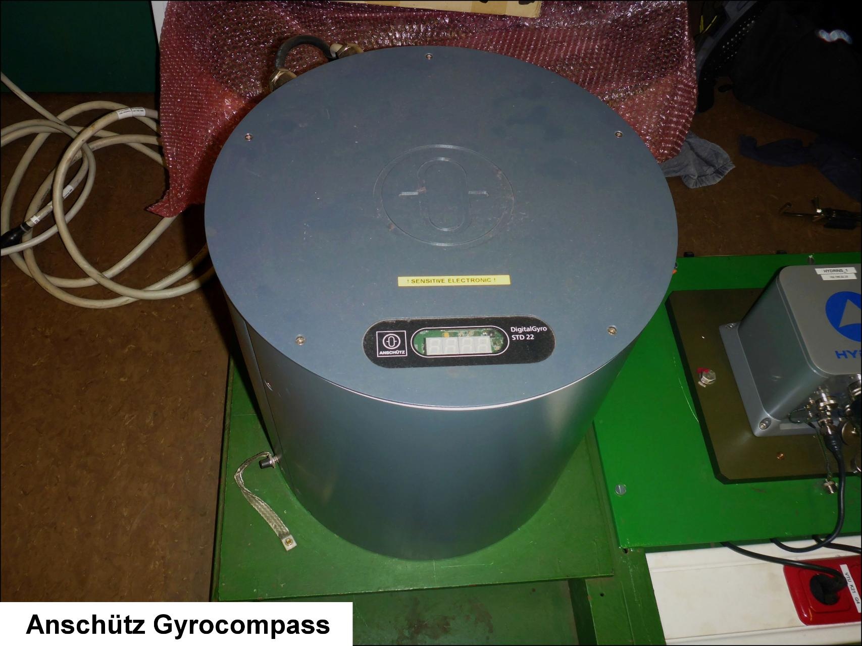
The Anschuetz gyrocompass is a compass that orientates itself parallel to the rotational axis of the earth and thereby indicates the true astronomic north-south direction. |
| Sensorweb integration | ||||||||||
|---|---|---|---|---|---|---|---|---|---|---|
| ||||||||||
|
| Sensorweb integration | ||||
|---|---|---|---|---|
| ||||
  |
Contacts
| Sensorweb integration | ||||||
|---|---|---|---|---|---|---|
| ||||||
|
Components
| Metadata (Metadata Plugin) | ||
|---|---|---|
| ||
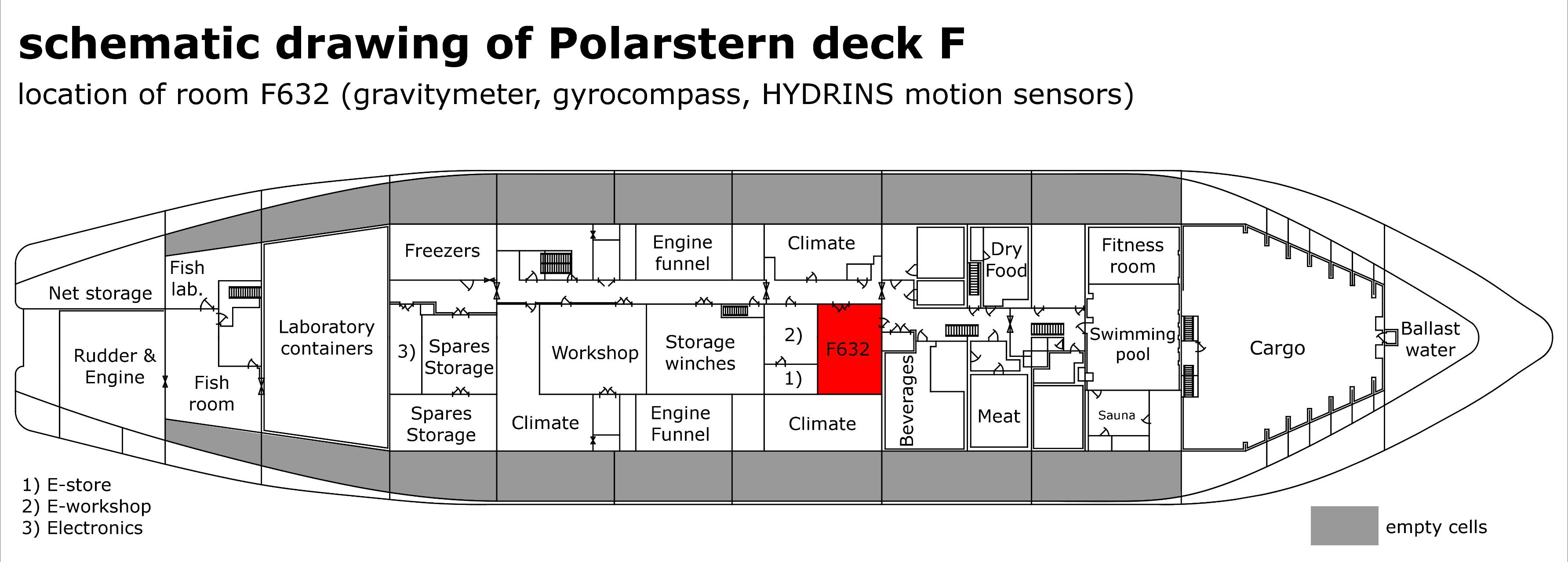
The system consist of the Raytheon Anschütz STD 22 Gyro Compass installed in Gravitymeter Rom F-632. |
...
Position
| Sensorweb integration | ||||||||
|---|---|---|---|---|---|---|---|---|
| ||||||||
|
Data logging, storage and archiving
Logged parameters
| Sensorweb integration | ||||||
|---|---|---|---|---|---|---|
| ||||||
|
Central geographical ship's position and time standard
| Metadata (Metadata Plugin) | ||||
|---|---|---|---|---|
| The system is not time synchronized. This is done by DShip receiving these data for logging.
The system is not geographically positioned. This is done by DShip receiving these data for logging.||||
Rawdata storage on board
| Metadata (Metadata Plugin) | ||||
|---|---|---|---|---|
| Data are logged in DShip.
||||
Dship
| Metadata (Metadata Plugin) | ||||
|---|---|---|---|---|
| Unevaluated and uncorrected measurement data.||||
| Metadata list |
|---|
|| Device name | NACOS ship navigation system ||
|| Parameters| System Heading || |
Data archiving on land
| Metadata (Metadata Plugin) | ||||
|---|---|---|---|---|
| After the cruise the DShip data set can be extracted from https://dms.awi.de.||||
| Metadata list |
|---|
|| File format(s) | *.txt ||
|| Calibration certificates | YES ||
|| Location of certificates | Polarstern Bridge / ship operation firm || |
...
Documentation
| Sensorweb integration | ||||
|---|---|---|---|---|
| ||||