Versions Compared

Key

  • This line was added.
  • This line was removed.
  • Formatting was changed.

...

Sensorweb integration
urnvessel:polarstern:hydrosweep_ds3
contenttypeMetadata


ManufacturerTeledyne RESON (ATLAS Hydrographic before takeover)
ModelHydrosweep DS3
Serial No.n/a
Typemulti-beam echosounder
SENSOR-Link


Sensorweb integration
urnvessel:polarstern:hydrosweep_ds3
contenttypeImages


...

Sensorweb integration
urnvessel:polarstern:hydrosweep_ds3
contenttypeContacts


NameInstitutionRole
Boris DorschelAlfred-Wegener-Institute
, Helmholtz Centre
for Polar and Marine ResearchEngineer In Charge, Principal Investigator, Data Scientist
Alfred Wegener Institute for Polar and Marine ResearchAlfred Wegener Institute,
Helmholtz
Helmholz Centre for Polar and Marine ResearchOwner
Simon DreutterAlfred-Wegener
Institute, Helmholtz Centre for Polar and Marine Research
-InstituteEngineer In Charge
, Data Scientist, Editor


Components

Metadata (Metadata Plugin)
0Components
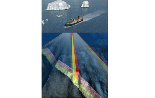
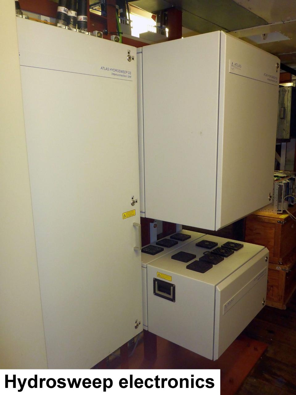
The system consists of hull-mounted transducers, top side hardware and operation software.

...

Sensorweb integration
urnvessel:polarstern:hydrosweep_ds3
contenttypeSubdevices


NameModelSerial NumberSENSOR-
Link
Hydrosweep RX transducer arrayHydrosweep DS3n/a
Hydrosweep TX transducer arrayHydrosweep DSn/a


Position

Sensorweb integration
urnvessel:polarstern:hydrosweep_ds3
contenttypeLocalFrame


Infoxyz-position calculated from Alignment Survey Report (2016) to be center between Tx and Rx transducer. Transducer arrays located in box keel, electronics located in E525A, operating computers located in E550 (HSPS-room)
X77.162 m
(X-0 is at the center of der rudder (ref. design drawing of the vessel), positive X-axis is forward and along vessel centerline)
Y0.001 m
(Y-0 at centerline, positive Y-axis is portside)
Z0.017 m
(Z-0 is set to the lowest point of the keel, positive Z-axis is upwards)


Data logging, storage and archiving

...

Sensorweb integration
urnvessel:polarstern:hydrosweep_ds3
contenttypeParameters


ParameterSensor Output TypeUnit
depthdepthm
Hydroacoustic backscatterbackscatter strengthV


Central geographical ship's position and time standard

...

Metadata (Metadata Plugin)
0Rawdata
MassThe acquired data: Theis datarecorded acquisitionon andthe processingHydrosweep softwareoperator createsPC rawdataand tocan thebe directorybacked structureup ofto the ship's mass data storage. A reduced data set is also stored in DShip sytem.

...