...
| Sensorweb integration | ||||
|---|---|---|---|---|
| ||||
A gravimeter is used to measure the gravitational field of the earth. The gravimeter on board of Polarstern is situated on a gyro-stabilized platform to compensate for the ships movement. It is a spring and mass system with magnetic compensation, the length of the spring being proportional to the gravitation. | ||||
| Sensorweb integration | |||||||||||
|---|---|---|---|---|---|---|---|---|---|---|---|
| |||||||||||
|
| Sensorweb integration | ||||
|---|---|---|---|---|
| ||||
     |
Contacts
| Sensorweb integration | ||||||||||||||||||||
|---|---|---|---|---|---|---|---|---|---|---|---|---|---|---|---|---|---|---|---|---|
| ||||||||||||||||||||
Graeme Eagles | Alfred-Wegener Institute of Polar and Marine Research | Principal Investigator | Graeme Eagles | Alfred-Wegener Institute of Polar and Marine Research | Data Scientist
Alfred Wegener Institute, Helmholz Centre for Polar and Marine Research | Owner | polarstern dship | Alfred-Wegener-Institute | dship connector |
|
Components
| Metadata (Metadata Plugin) | ||
|---|---|---|
| ||
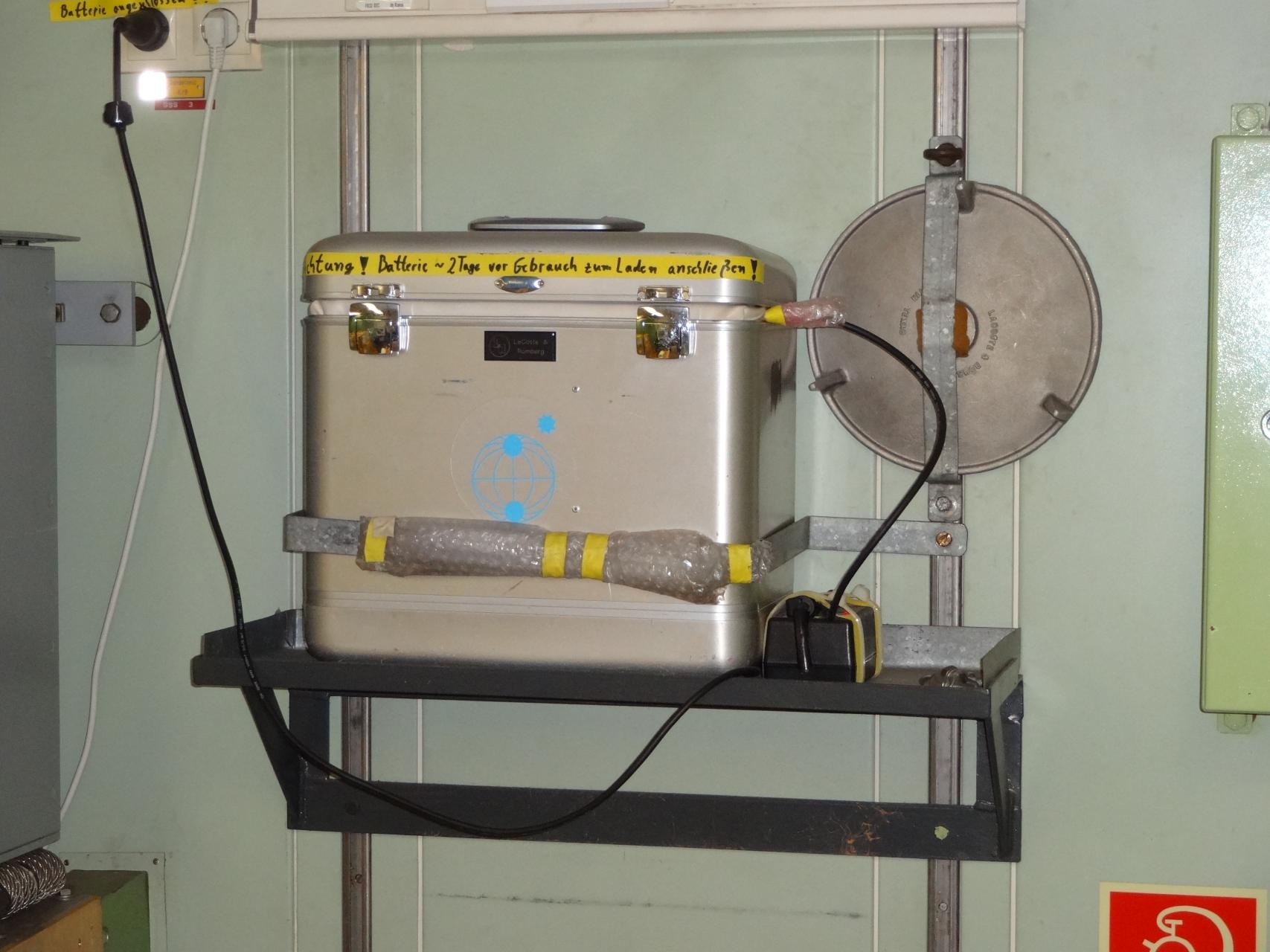
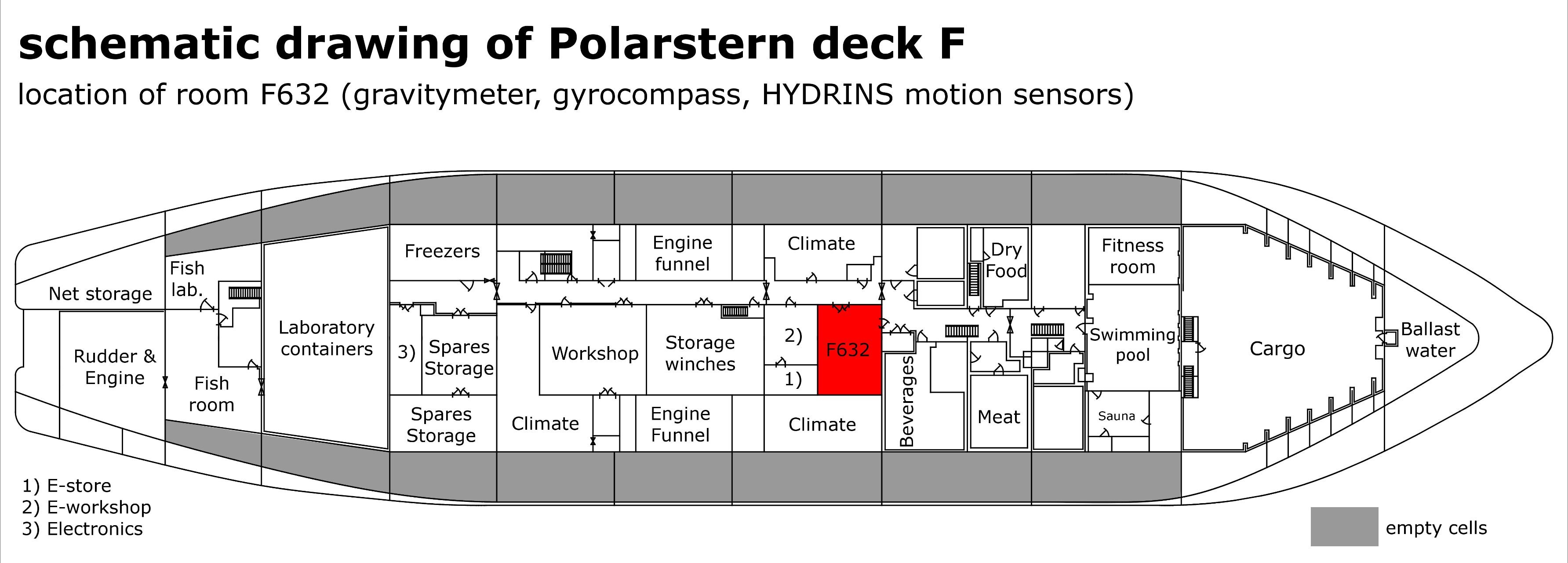
The Marine Gravitymeter System consits of the Gravitymeter KSS 32-M and the operator-laptop in the Gravitymeter Room on board. The Gravitymeter control system and data acquisition software BGGS DACQS is installed on the laptop. |
...
| Sensorweb integration | ||||||||||
|---|---|---|---|---|---|---|---|---|---|---|
| ||||||||||
Origin Description: | xyz-position from Alignment Survey Report RV Polarstern (June 2016), located in F632 | X: | 56.99 m | (X-0 is at the center of der rudder (ref. design drawing of the vessel), positive X-axis is forward and along vessel centerline) Y: | 0.147 m | (Y-0 at centerline, positive Y-axis is portside) Z: | 11.81 m(Z-0 is set to the lowest point of the keel, positive Z-axis is upwards) |
Data logging, storage and archiving
...
| Sensorweb integration | ||||||||||||||
|---|---|---|---|---|---|---|---|---|---|---|---|---|---|---|
| ||||||||||||||
gravity | gravity | mGal | |
Central geographical ship's position and time standard
...
| Sensorweb integration | ||||
|---|---|---|---|---|
| ||||
|