The sea-ice thickness processing chain generates higher level data products (such as maps) from measurements along the ground track of the satellite. Sea-ice thickness information is therefore available at different data levels that differ in the extent and resolution of the corresponding dataset.
Single Orbit
| Data Level | Level-2 Intermediate (L2i) |
|---|---|
| Data Period | Individual (for each orbit segment) |
| Summary | Geophysical variables and error flags at full resolution of the altimeter (typically 300 meter). |
| Parameters | All fields are per single altimeter data point
|
l2i data products are not publically available due to their data volume but can be made available upon request
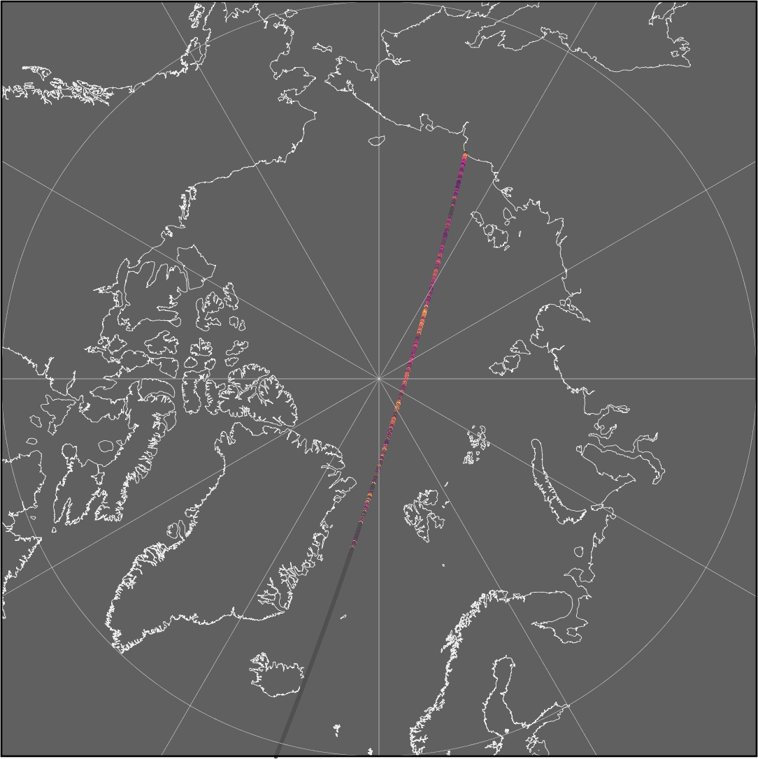
Figure: Example of sea-ice thickness along a single orbit at along-track resolution
Daily Trajectory Summary
| Data Level | Level-2 Post-Processed (L2P) |
|---|---|
| Data Period | Daily (between 00:00:00 and 23:59:59.999 UTC) |
| Summary | Collection of daily along-track geophysical parameters and their uncertainties at full resolution of the altimeter (typically 300 meter). Product only includes data points with valid freeboard measurements, though the point spacing of the data is potentially irregular. |
| Parameters | All fields are per single altimeter data point
|
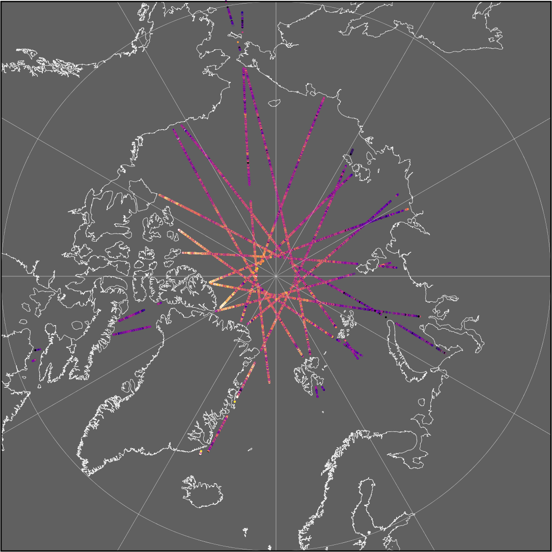
Figure: Example of daily sea-ice thickness point measurements at along-track resolution
Space-Time Grid
| Data Level | Level-3 Colocated (L3C) |
|---|---|
| Data Period | Weekly (Monday 00:00:00 and Sunday 23:59:59.999 UTC) Monthly (between 00:00:00 first day and 23:59:59.999 UTC last day of the month) Custom (between 00:00:00 first day and 23:59:59.999 UTC last day) |
| Summary | Gridded geophysical parameters, their uncertainties, retrieval area statistics and flags on a space-time grid |
| Parameters | Add variables are given per grid cell, except time bound and reference time
|
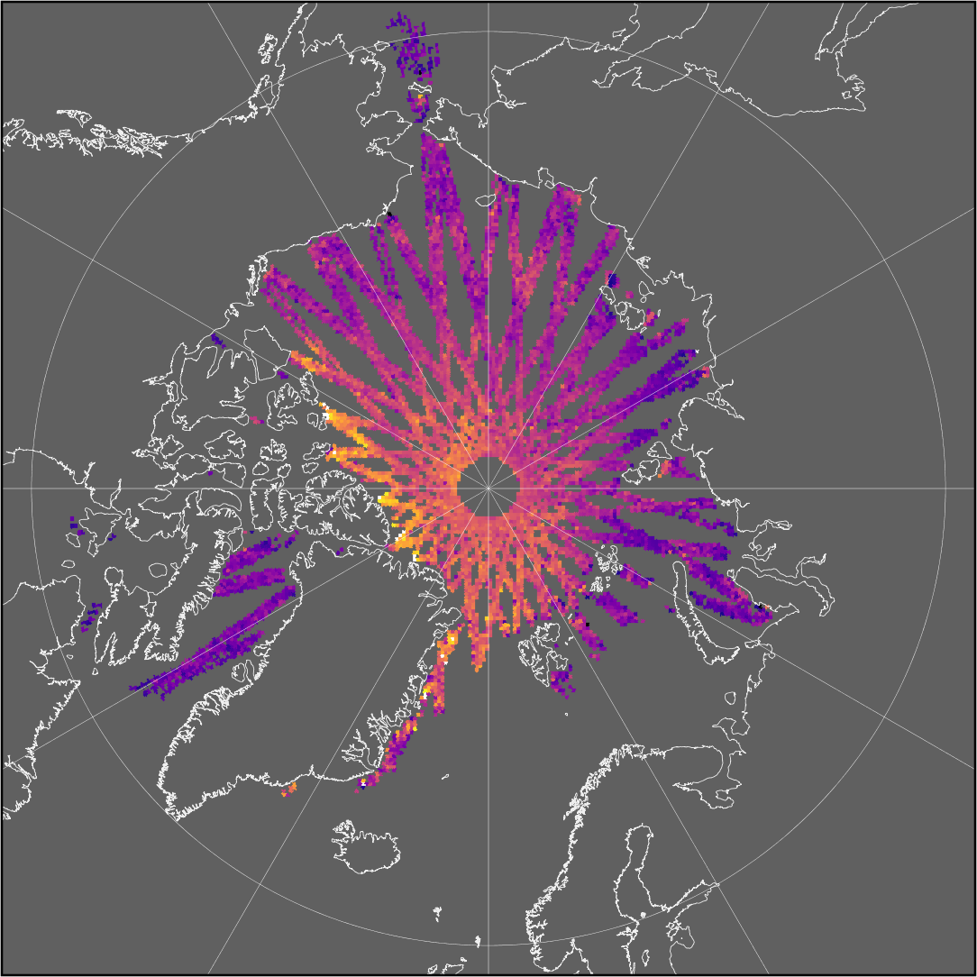
Figure: Example of weekly gridded sea-ice thickness product
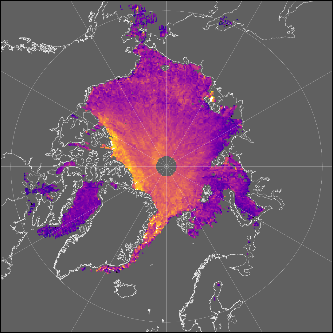
Figure: Example of monthly gridded sea-ice thickness product